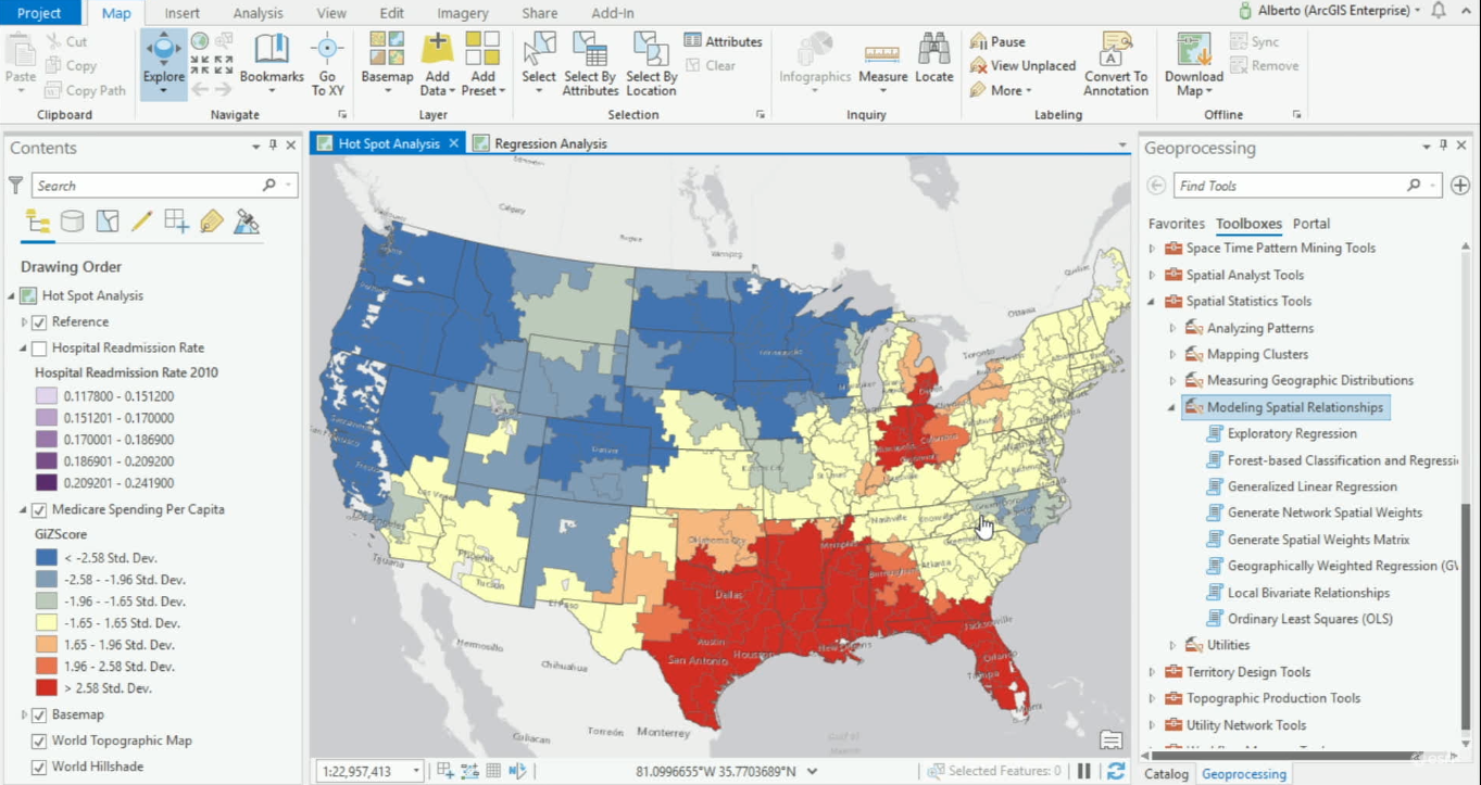
Modeling Spatial Relationships with ArcGIS Pro
ArcGIS Pro offers various geoprocessing tools for modeling spatial relationships. ArcGIS Pro 2.4 offers one new tool for modeling spatial relationships and expands its Ordinary Least Square’s tool, now renamed Generalized Linear Regression tool. When variables are...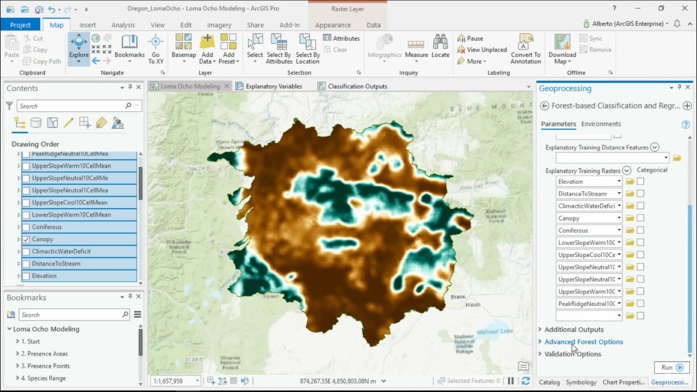
Spatial Machine Learning with ArcGIS Pro
Now that machine learning algorithms are available for everyone, they can be used to solve spatial problems. ArcGIS Pro offers different Spatial Machine Learning tools that enable classification, clustering and prediction of spatial data. Traditional Machine Learning...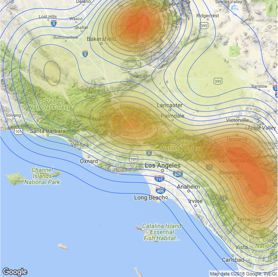
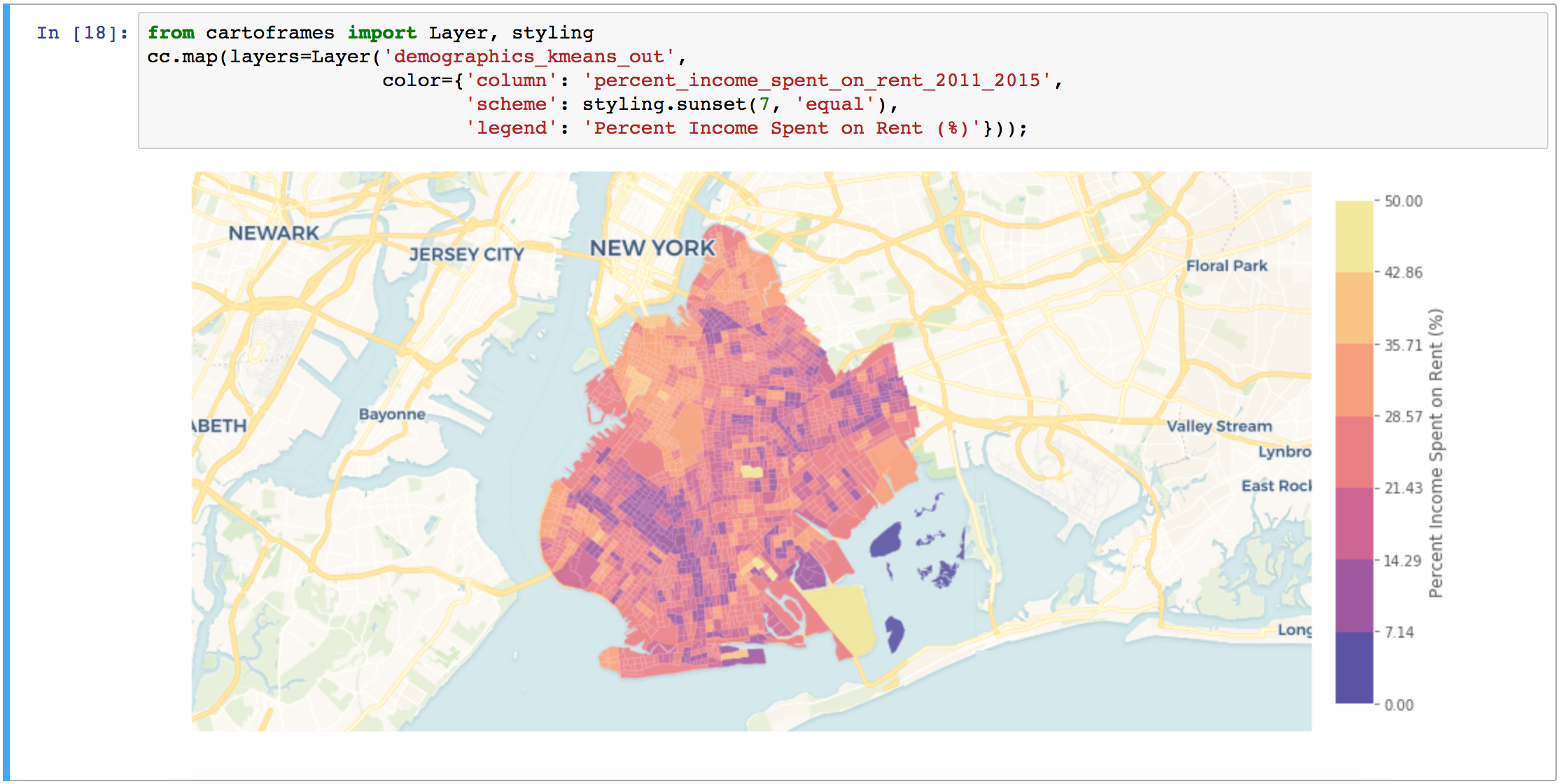
Spatial Visualization with R and ggmap
The ggmap package enables the visualization of spatial data and spatial statistics in a map format using the layered approach of ggplot2. This package also includes basemaps that give your visualizations context including Google Maps, Open Street Map, Stamen Maps, and...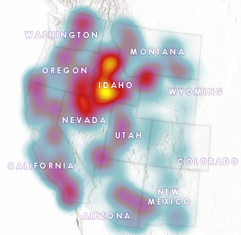
Visualizing the Surge in Large Wildfire Activity in the Western United States
The 2017 wildfire season shattered records and cost the U.S. Forest Service an unprecedented $2 billion. From the Oregon wildfires to late season fires in Montana, and the highly unusual timing of the California fires in December, it was a busy year in the Western...