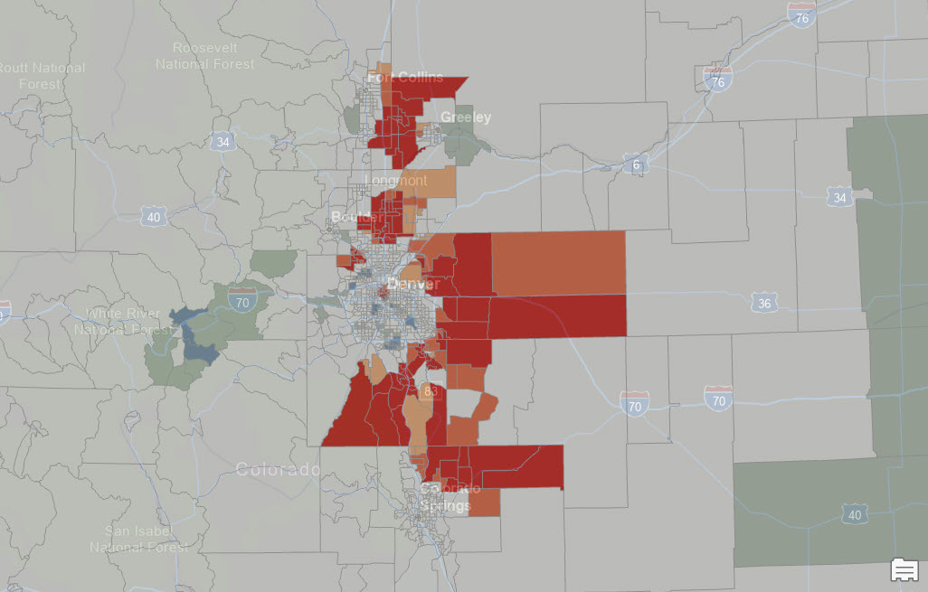
Using Python, ArcGIS Pro and ACS Data to model Population Shifts in the Western US
Over the last five years, the western United States has experienced notable shifts in population patterns, with distinct regions emerging as either growth hot spots or cold spots. Cities like Denver, Colorado, and Boise, Idaho, have seen substantial population...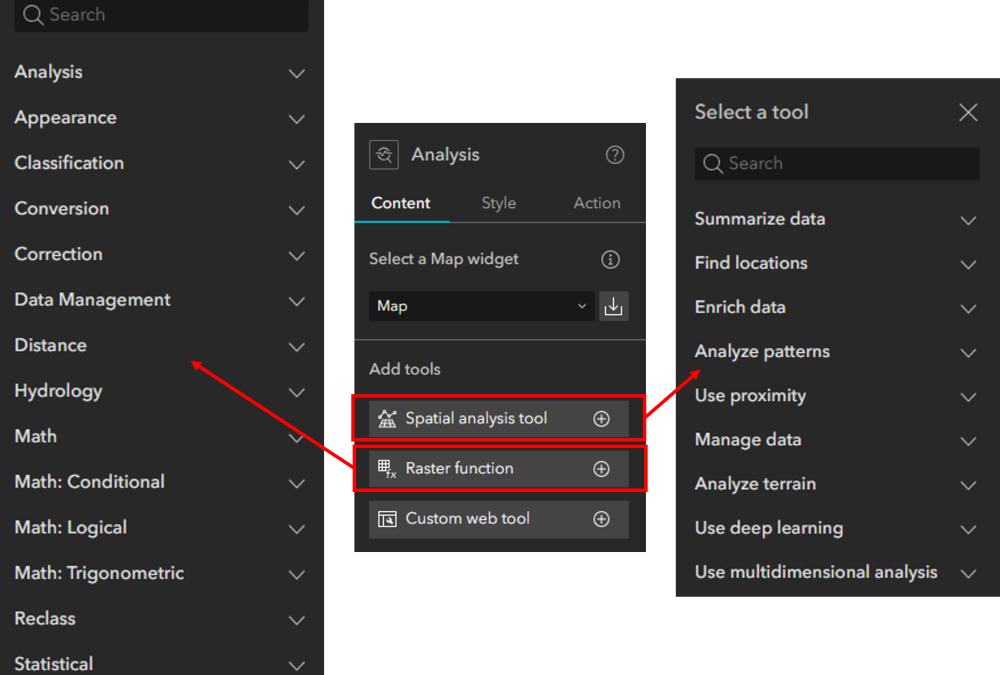
Analysis Widget Overview for Experience Builder
Viewing data summaries can be powerful, but spatial analyses can provide an even deeper understanding of data, relationships, and location. I won’t go into detail about the benefits of spatial analysis because I would be preaching to the choir. Because of this,...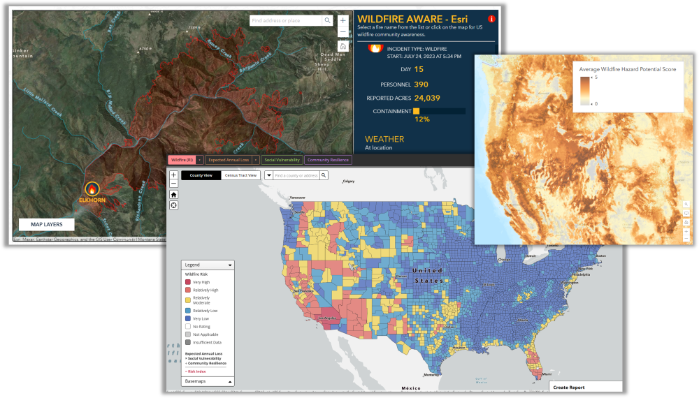
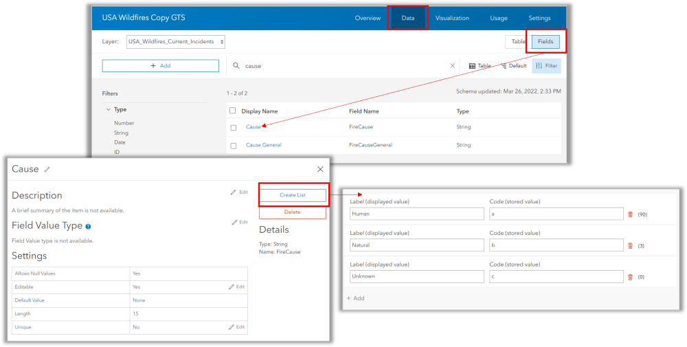
Understanding your Wildland Fire Risk
GIS resources to help you explore, analyze, and understand your risk. Wildland Fires are becoming more frequent with higher destruction rates relative to land and property. Many of the most destructive fires in terms of financial loss have occurred since 2017. Here...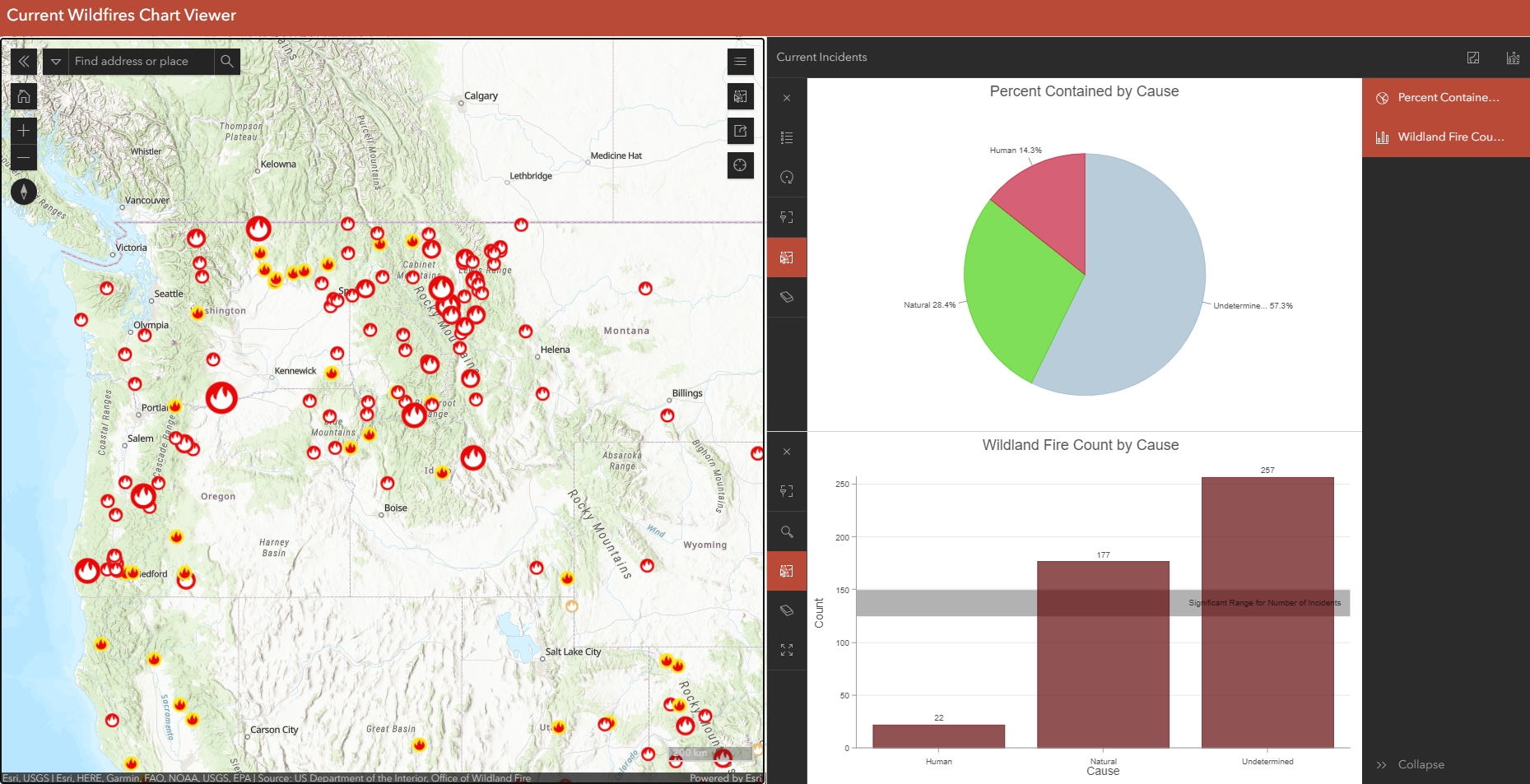
Configure Charts in Map Viewer and Use them in the Chart Viewer Instant App
There are now 19 Instant Apps to choose from in ArcGIS Online, two of which are still in Beta testing. What is an Instant App? Instant Apps are the newest no-code, configurable web applications offered in ArcGIS Online. They have been created to meet the requirements...