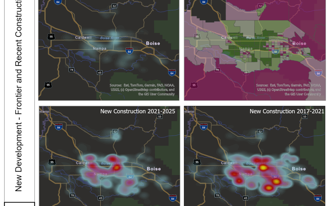
The Boise Boom Didn’t Slow Down — It Moved West
What eight years of satellite-measured land change says about the Treasure Valley Ask a national headline writer about Boise and you’ll get the 2020–2021 story: pandemic boomtown, California license plates, bidding wars. Ask the land itself and you get something...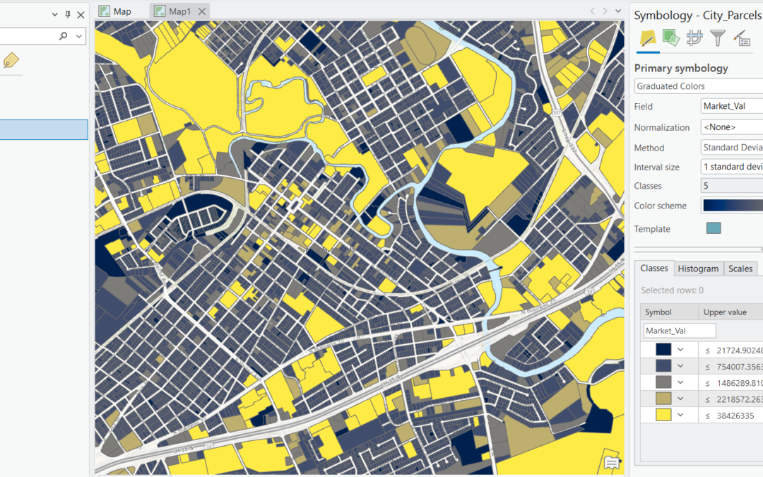
A Complete Guide to Graduated Color Renderers in ArcGIS Pro
Few symbology tools get more use in day-to-day GIS work than the graduated colors renderer. Whether you’re mapping median household income by census tract, crime rates by precinct, or population change by county, graduated colors are the workhorse behind the...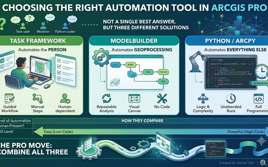
Python, ModelBuilder, or Tasks? Choosing the Right Automation Tool in ArcGIS Pro
Ask three GIS professionals how they automate work in ArcGIS Pro and you’ll often get three different answers, each delivered with the conviction that theirs is the “real” way to do it. The Python crowd treats everything else as training wheels. The...
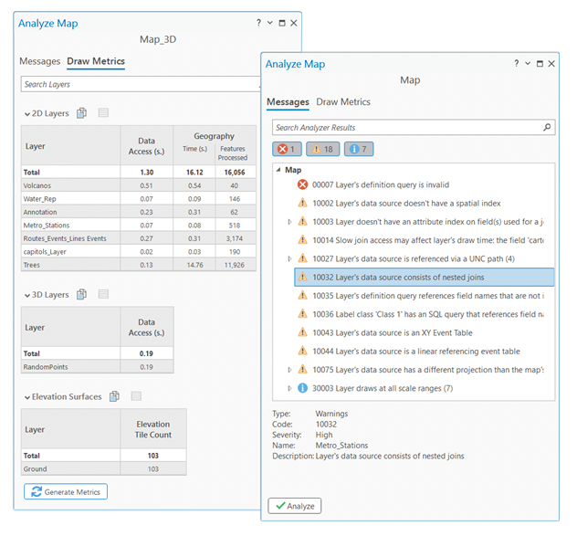
Custom Project Templates in ArcGIS Pro: A Powerful Tool With One Quiet Gotcha
If you find yourself rebuilding the same project structure over and over in ArcGIS Pro — adding the same basemaps, wiring up the same database connections, recreating the same layout, importing the same toolboxes — there is a better way. Custom project templates let...