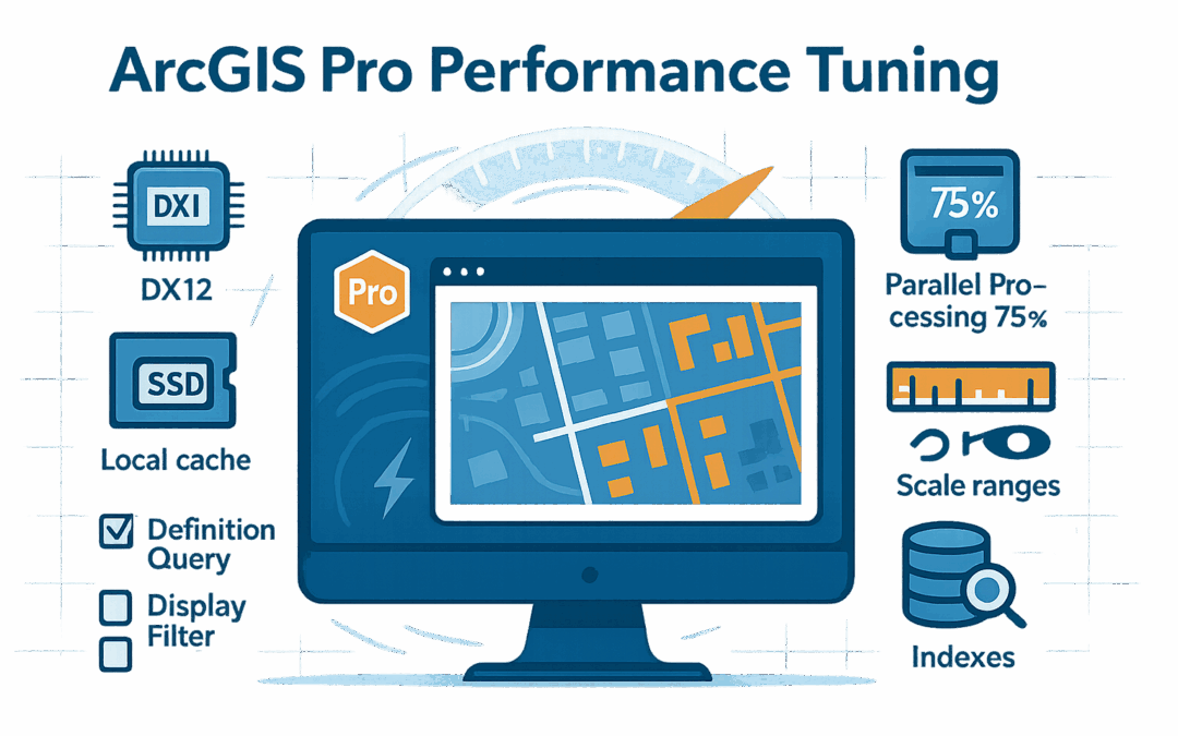
ArcGIS Pro Performance Tuning: Speed Up Your Workflows by 50%
Is your ArcGIS Pro crawling through large datasets? Does your 3D scene stutter when you navigate? Are you making coffee while waiting for geoprocessing tools to complete? You’re not alone—but you don’t have to accept poor performance as inevitable. After...
5 Time-Saving Data Management Tips in ArcGIS Pro That You’re Probably Not Using
While these five data management tips can significantly improve your workflow, mastering ArcGIS Pro requires comprehensive training across all its capabilities. Our ArcGIS Pro Class Bundle provides everything you need to become proficient in the software! Whether...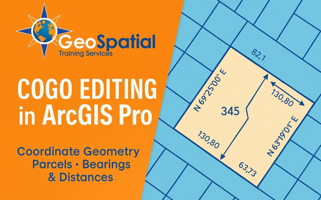
Understanding COGO: A Beginner’s Guide to Coordinate Geometry in ArcGIS Pro
Ready to master COGO editing in ArcGIS Pro? Professional training in coordinate geometry can enhance your GIS work with improved precision and professional credibility, opening new opportunities for career advancement and specialized project work. Our newly released...
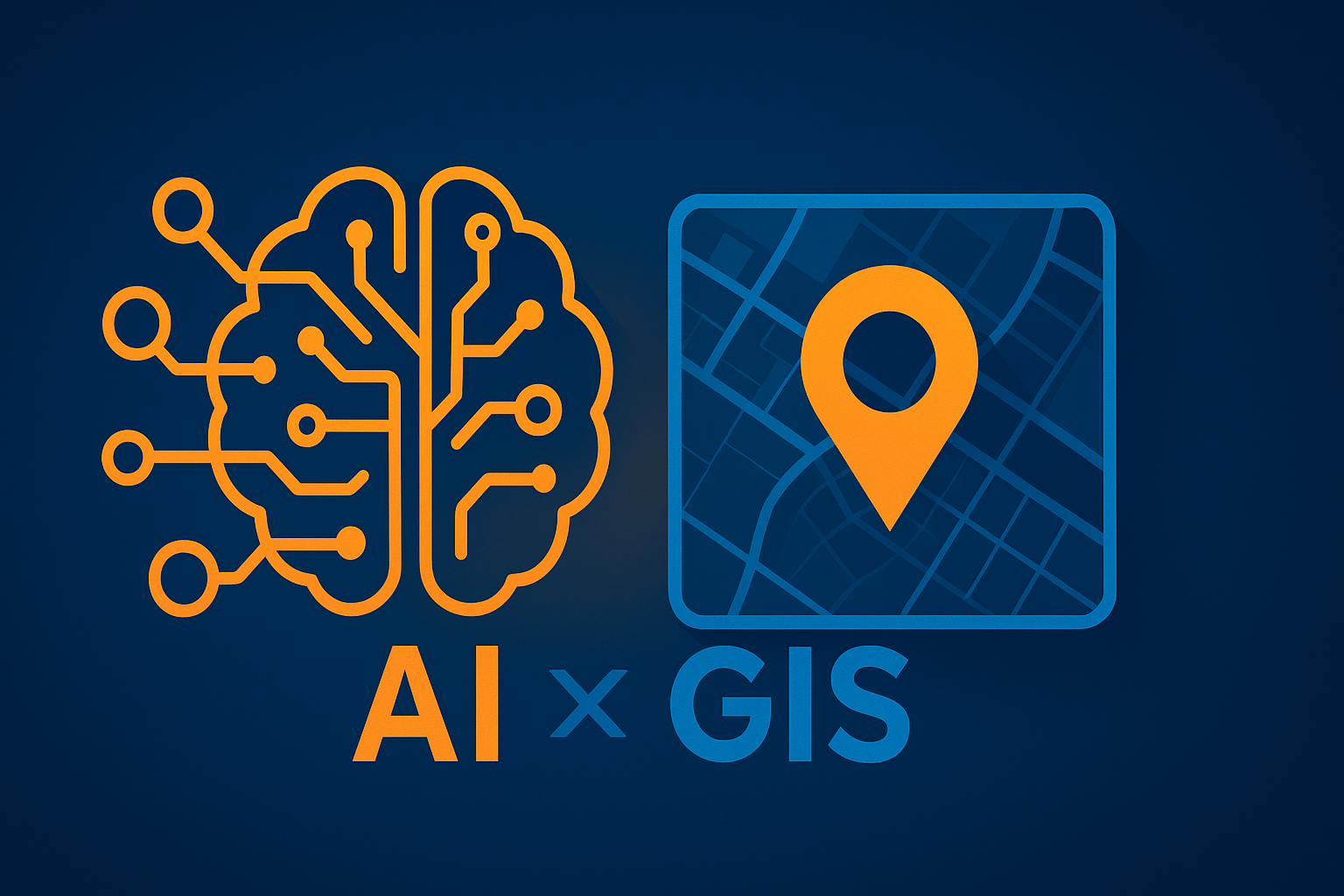
The Rise of Agentic AI: How Intelligent Agents Will Transform GIS Workflows
In the near future, Artificial Intelligence in GIS will evolve from simple automation to sophisticated systems that can think, plan, and execute complex spatial tasks independently. Agentic AI represents a fundamental shift toward autonomous systems that understand...