
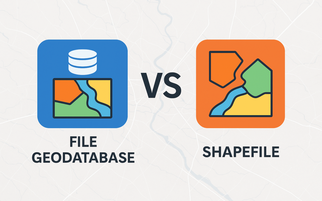
File Geodatabases vs. Shapefiles: Understanding the Differences That Matter
For GIS professionals, choosing the right data format can significantly impact project efficiency, data integrity, and long-term sustainability. Two of the most commonly used vector data formats in the Esri ecosystem are shapefiles and file geodatabases. While both...
Is Your Organization Ready for ArcGIS Desktop’s 2026 Retirement?
The time has come. ArcGIS Desktop, including the beloved ArcMap, will officially retire on March 1, 2026. After decades of powering geospatial workflows across industries, this cornerstone GIS platform is reaching its end-of-life, marking a pivotal moment for...
Understanding the Geodatabase Format in ArcGIS Pro – Part 5
Read Part 1 Read Part 2 Read Part 3 Read Part 4 Part 5: Advanced Geodatabase Features in ArcGIS Pro The geodatabase platform transcends simple spatial data storage, offering sophisticated capabilities that model complex real-world systems and enforce critical business...
Understanding the Geodatabase Format in ArcGIS Pro – Part 4
Read Part 1 Read Part 2 Read Part 3 Part 4: Enterprise Geodatabase Management Welcome to Part 4 of our comprehensive ArcGIS Geodatabase series. In this installment, we’ll explore the complexities of managing enterprise geodatabases, covering multi-user...