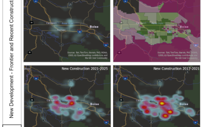
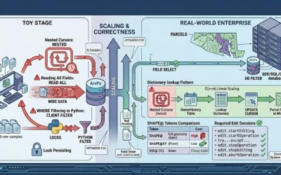
We found a bug in one of our production datasets yesterday. By the afternoon we had diagnosed it, fixed it, checked the fix against imagery in two metros, updated the client PDFs, and committed the change. A corrected reprocessing run across 198 metro areas was...

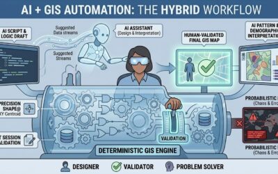
What AI Automation Looks Like in a Real GIS Pipeline
read more