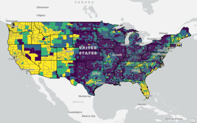
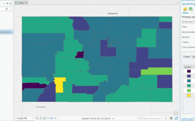
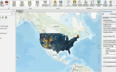
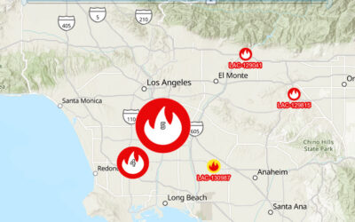
When working with Coordinate Geometry (COGO) in ArcGIS Pro, it helps to separate two ideas that sound similar but behave differently: ground measurements and grid measurements. Survey and engineering documents often describe distances “on the ground,” while GIS stores...
Articles & Tutorials
The GeoAI Reckoning: Disruption, Opportunity, and What GIS Professionals Should Do Now
Navigating opportunity and disruption as AI reshapes the geospatial industry The geospatial industry is experiencing its most significant transformation since the shift from paper maps to digital GIS. Artificial intelligence and machine learning are fundamentally...
Meta’s SAM 3: A Game-Changer for GIS Feature Extraction
Meta's Segment Anything Model 3 (SAM 3) represents a significant leap forward in automated feature extraction from imagery, and it has enormous implications for GIS professionals. This latest foundation model transforms how we can extract object-level data from...
How to Create and Apply Domains in ArcGIS Pro File Geodatabases
Introduction One of the most powerful data quality control features in ArcGIS Pro file geodatabases is the ability to create and apply domains to your attribute fields. Domains restrict the values that can be entered into a field, ensuring data consistency and...
What’s New in ArcGIS Pro 3.6: Top Features You Need to Know
Learn more about ArcGIS Pro in one of our upcoming ArcGIS Pro Bootcamps and other classes around the country and live-online. ArcGIS Pro 3.6 has arrived, and it's packed with enhancements that will make your GIS workflows more efficient and powerful. This release...
Understanding Contextual Tabs in ArcGIS Pro: A Guide for ArcMap Users
One of the biggest adjustments when moving from ArcMap to ArcGIS Pro is understanding how the ribbon interface works, particularly those mysterious tabs that seem to appear and disappear. If you've found yourself wondering where certain tools went or why you can't...
ArcMap to ArcGIS Pro: Navigating the Top 5 Migration Challenges
Introduction With ArcMap entering mature support in March 2024 and heading toward retirement in March 2026, GIS professionals across industries are facing a critical transition. While ArcGIS Pro offers powerful new capabilities, enhanced performance, and a modern...
Level Up Your Workflow: Introducing Announcements in ArcGIS Pro 3.6
How often have you found out about a game-changing ArcGIS Pro feature months after it launched? Or continued using a time-consuming workflow, only to discover a better, faster option was already available? Staying current with software updates often means constantly...
Understanding Edit Sessions in ArcGIS Pro: When and Why to Use Them
For users transitioning from ArcGIS Desktop or those working with complex editing workflows, understanding edit sessions in ArcGIS Pro is crucial for effective data management. While ArcGIS Pro defaults to a more flexible editing mode without sessions, the ability to...
How AI Could Potentially Transform the Future of GIS in Local Government
Geographic Information Systems have become indispensable for local governments, but we're only beginning to scratch the surface of what's possible when artificial intelligence enters the picture. Looking ahead, AI could fundamentally reshape how municipalities use...


