

ArcGIS Pro offers a set of AI-enabled tools GIS workflows that are meant to simplify workflows and offer advanced capabilities. We’ll look at some of the AI tools that come with ArcGIS Pro and explain how they differ from each other.
Artificial Intelligence (AI) refers to computer systems capable of performing complex tasks that historically only a human could do, such as reasoning, making decisions, or solving problems. AI includes a variety of technologies, including machine learning (ML), deep learning (DL), and natural language processing (NLP). Esri has been integrating all these different AI technologies into its ArcGIS platform in the form of geoprocessing tools, standalone applications, product extensions, and standalone pre-trained models.
AI tools inside ArcGIS Pro
The following gives a brief overview of the new AI capabilities available inside ArcGIS Pro. Specifically, we’ll cover the following categories of AI tools:
- Python Notebooks: a live coding environment that gives access to data science and spatial analysis workflows, tools and libraries, including machine learning and deep learning libraries
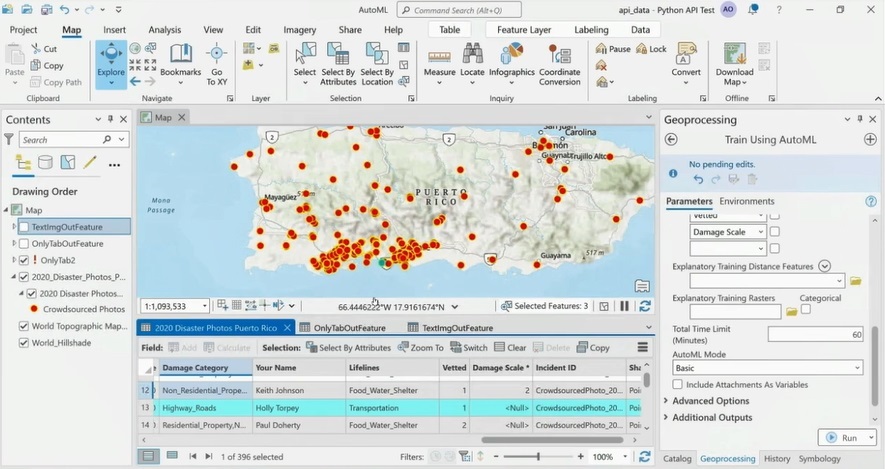
- GeoAI toolbox: a set of geoprocessing tools with ready-to-use AI tools
- Image Analyst Extension: an ArcGIS Pro extension with a collection of tools to train a model, capture training data and run inferencing
These three categories extend already-existing AI capabilities inside Pro for automating prediction, classification, and clustering of spatial data in Pro. Examples are tools such as Density-based Clustering, Image Segmentation, and others. Also, Pro uses AI and machine learning in particular ‘behind the scenes’ as a means of choosing smart, data-driven defaults, automating workflows, and optimizing results.
1) Python Notebooks
The inclusion of Python Notebooks provides access to the Python library ecosystem, which includes machine learning and deep learning libraries. Popular ML/DL libraries include pandas, NumPy, scikit-learn, TensorFlow and Keras. Additionally, Python Notebooks provide access to the ArcGIS API for Python, a Python library that is used for data science workflows and much more. The API is distributed via the arcgis package and contains a submodule called arcgis.learn that provides functions for calling deep learning functions.
Python Notebooks are based on Jupyter Notebooks and provide a live coding environment where GIS users can interact directly with data and algorithms to manipulate that data. Apart from writing and running code, Python Notebooks enable annotating code, and creating graphs and maps of the results of data analysis. Combined with Pro’s geoprocessing and cartographic tools, users can choose to apply additional analysis tools, and/or create cartographic maps.
2) GeoAI toolbox
Pro’s GeoAI toolbox includes a set of ready-to-use geoprocessing tools for automated machine learning. This process takes away potential guesswork from the side of the user for how to apply a neural network. The tools return the model that is most appropriate for that dataset. The tools in this toolset are organized by data modularity: feature and tabular analysis tools, imagery AI tools, Text Analysis tools, and Time Series AI tools.
The resulting trained models from the Feature and Tabular Analysis toolset can be used for predicting both categorical variables (classification) and continuous variables (regression) on similar datasets. The Imagery AI tools provide training and feature extraction using AI models. The tools in the Text Analysis toolset use and fine-tune pre-trained text and NLP models from ArcGIS Living Atlas of the World, or create models using labeled text data that can be used in and further fine-tuned using ArcGIS API for Python. All tools in the GeoAI toolbox require the installation of the necessary deep learning framework libraries, as they rely on them.
3) Image Analyst Extension
Image Analyst is an ArcGIS Pro extension with functions, tools, and capabilities for advanced image analysis. Image Analyst now includes a set of tools to perform entire deep learning workflows with imagery in ArcGIS Pro, including preparing imagery training data, training object detection, pixel classification, or object classification model, and producing and reviewing the results. Apart from the options to train your own deep learning models using ArcGIS and apply model inferencing, Esri offers pre-trained, ready-to-use deep learning models in ArcGIS Living Atlas of the World to accelerate geospatial workflows.
