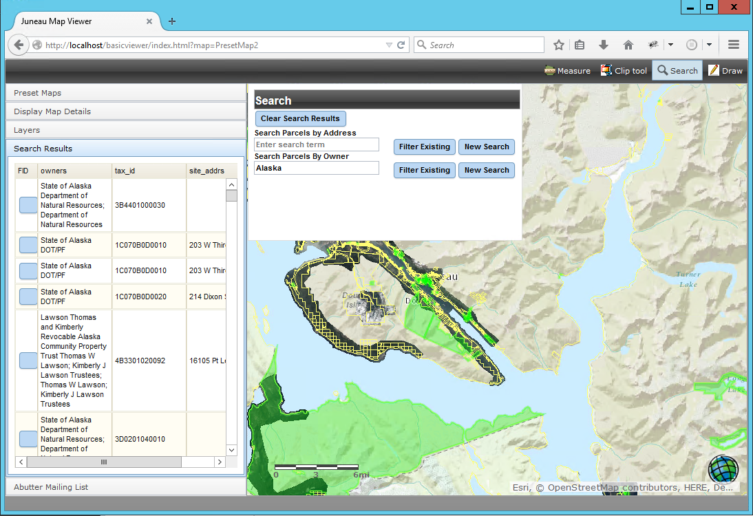
Articles & Tutorials

Esri and Big Data: What’s New and What’s Next

Esri and Big Data: What’s New and What’s Next

Big data was a major topic during this year´s Esri UC. This blog post discusses a number of new and upcoming Esri products that deal with big data. By Eric van Rees What is big data? The term big data refers to datasets that are so large or complex that traditional...

read more
Introducing Drone2Map for ArcGIS

Introducing Drone2Map for ArcGIS

With the drone market becoming more professional, it was only a matter of time before Esri would release an application that could tap into raw imagery captured with drones, turning it into standardized imagery products and sharing these in the Esri ecosystem. This is...

read more
Imagery Tools in ArcGIS Desktop

Imagery Tools in ArcGIS Desktop

Airborne and satellite imagery these days is available in multiple bands, which gives the user the opportunity to enhance and use it for a wide range of applications. This blog describes some of the tools available in ArcMap to do this. By Eric van Rees...

read more
ArcGIS Earth 1.1: What’s New and What’s Next

ArcGIS Earth 1.1: What’s New and What’s Next

Last April, Esri announced the second release of ArcGIS Earth, version 1.1. This blog post discusses a number of new features that come with this new release, as well as Esri´s roadmap for upcoming releases and features. Last January, Esri released a new software...

read more
ArcGIS Pro 1.3 Released

ArcGIS Pro 1.3 Released

Esri continues to work and improve on its newest desktop GIS application, ArcGIS Pro. For those that may not be aware of ArcGIS Pro, it is a completely new 64-bit desktop GIS application that makes use of a modern ribbon based interface. Being 64 bit, it can take full...

read more
Introducing the R-ArcGIS Bridge

Introducing the R-ArcGIS Bridge

Bringing together the user communities of R and ArcGIS was the motivation behind the release of the R-ArcGIS bridge software package last year. This blog post discusses how GIS can incorporate the R language and enhance geospatial workflows. By Eric van Rees What is...

read more
Widgets and the ArcGIS API for JavaScript 4.0

Widgets and the ArcGIS API for JavaScript 4.0

This blog post discusses how the new ArcGIS API for JavaScript 4.0 deals with widgets. What is a widget? Working with widgets is an essential part of the ArcGIS API for JavaScript. Esri calls widgets “the building blocks of the user interface”. But what is a widget...

read more
3D Support in the ArcGIS API for JavaScript 4.0

3D Support in the ArcGIS API for JavaScript 4.0

The new ArcGIS API for JavaScript 4.0 introduces 3D capabilities into the world of ArcGIS JavaScript development. This blog post describes the creation of 3D apps, maps views, objects, symbology and streams with the API. Incorporating Web Scenes The new ArcGIS API for...

read more
ArcGIS API for JavaScript 4.0 Released

ArcGIS API for JavaScript 4.0 Released

The new ArcGIS API for JavaScript 4.0 is a “next-generation” release that not only introduces new functionality but is also a fundamental change from 3.x versions. This blog post highlights some of the new functionality and changes that come with the new API. Why a...

read more

Categories

Recent Posts

Sign up for our weekly newsletter
to receive content like this in your email box.