https://vimeo.com/192504249
Webinar Recording – Tips and Tricks for Passing GIS Certification Exams
read more

https://vimeo.com/192504249

Today marks the beginning of our 12th annual holiday sale. From now through the end of December you can save up to 20% on GIS training through Geospatial Training Services. As always, the sooner you register, the more you save! To take advantage of our holiday sale...

The Python window in ArcGIS Desktop and Pro is a good place to start for GIS analysts without any Python experience. This blog posts describes how you can take advantage of this feature when first learning Python scripting. Rather than starting with writing and...
September saw two new releases of Esri´s ArcGIS API for JavaScript. This blog post discusses some of the new capabilities of both releases. By Eric van Rees Two new releases of the ArcGIS API for JavaScript have been released around the same time, for versions 3.x and...
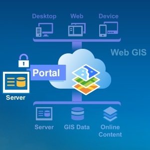
Portal for ArcGIS is an Esri product that extends ArcGIS for Server. This blog post describes what the product is all about and how it is different from ArcGIS Online. By Eric van Rees What is a portal? Esri defines a portal is an important logical component of a...
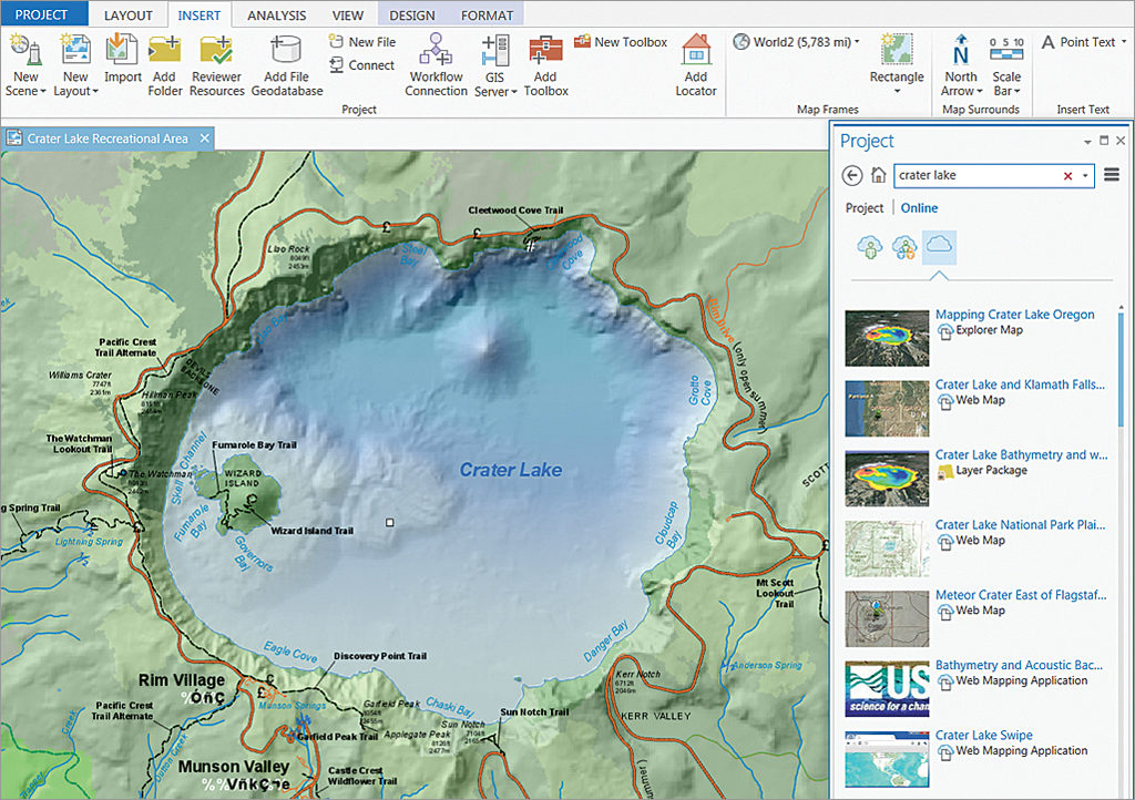
ArcGIS Pro supports all present-day patterns of airborne and satellite imagery use. This blog post describes some of the improvements that have been made in Pro with regards to using imagery, enhancing the user experience. By Eric van Rees Satellite and airborne...
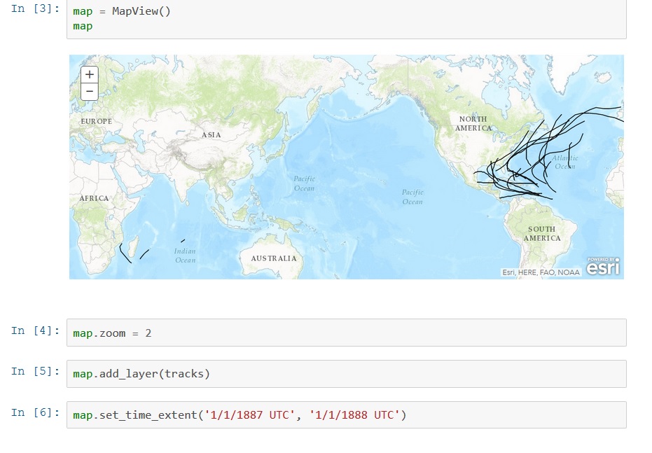
Last June, Esri announced a new API called the ArcGIS Python API, that extends the power of Python over the web. This blog post describes what it is and how it can be used. By Eric van Rees What is the ArcGIS Python API? Esri has been offering support for Python, a...
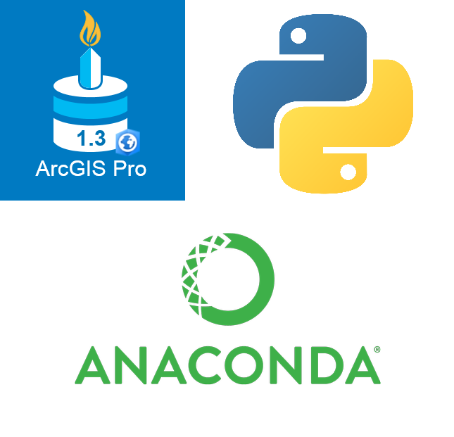
Working with Python in ArcGIS Pro 1.3 will be different from earlier versions. From this new version, Esri will integrate the functionality of conda. This blog discusses how using Python is different to earlier versions and what is conda. By Eric van Rees ArcGIS Pro...

In January we will be releasing two new ArcGIS Pro classes: Introduction to Programming ArcGIS Pro with Python and Intermediate ArcGIS Pro Programming with Python. Starting in early 2017 we will begin offering these courses in Denver, Seattle, Portland, and...
During the month of September you can save 15% on an Annual GIS Training License for organizations with 2 or more students. Our Annual GIS Training License provides access to 35 of our self-paced courses for one low price. Click here for more information. The...