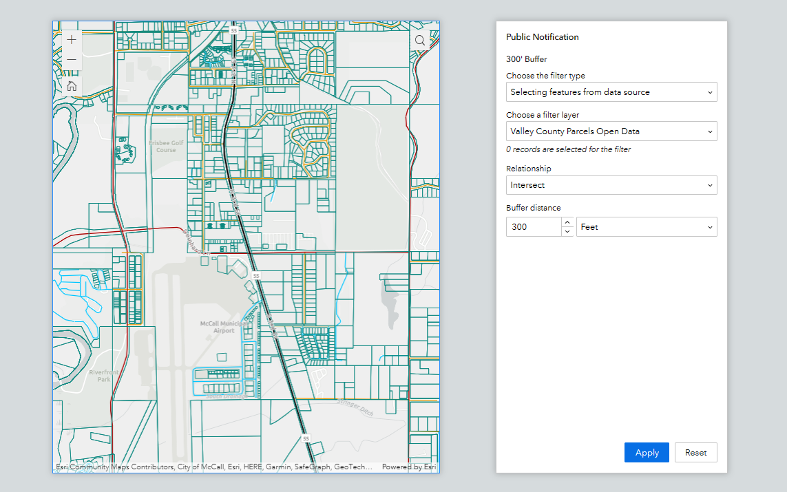
How to configure the Query Widget with a Spatial Buffer in Experience Builder
With every iteration of Experience Builder comes extended functionality and new and improved ways of configuring your application widgets. Experience Builder (EB) will be replacing Web AppBuilder (WAB), and sooner than later, so finding the same functionality in EB...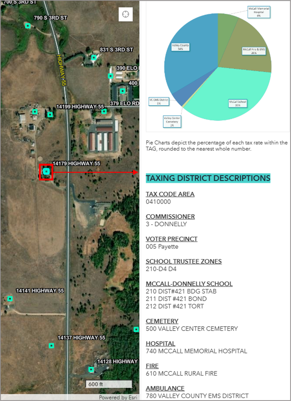
Use Arcade to Pull Field Attributes from a Polygon Layer into a Point Layer Pop-up
Dynamic labeling and visualization have become a lot easier with the release of Arcade. Arcade can be used to assist with labeling, symbology rendering, field calculation, and pop-up content. The question used to be; how do you display data when there is no...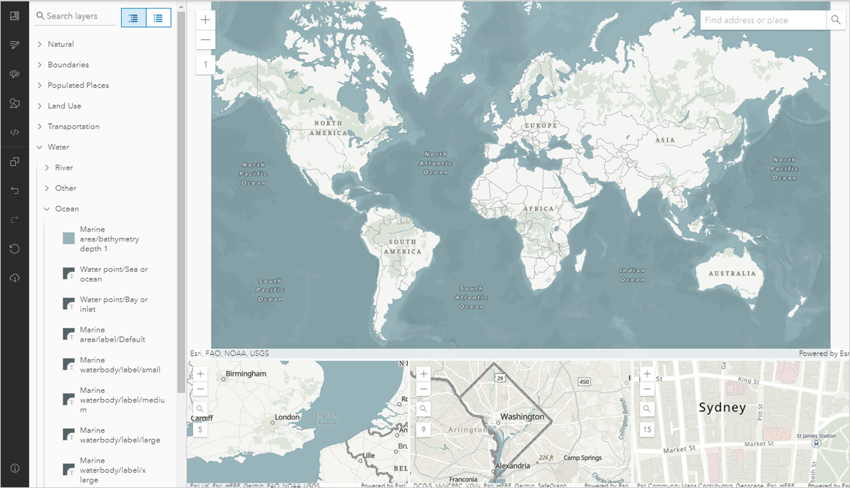
Tutorial: Use a Vector Basemap Editor in ArcGIS Online to Customize a Basemap
ArcGIS Online doesn’t make it incredibly clear that you can create a custom basemap for use in Map Viewer. Within the map viewer itself, there are small adjustments you can make from the basemap details and settings panel, such as darkening the hillshade layer through...
Free Tutorial Videos
Each month we release new tutorial videos covering a broad range of topics from ArcGIS Pro and ArcGIS Online, to Python, Arcade, Experience Builder and more. Browse the gallery below which represents the more than 100 tutorial videos hosted on our YouTube Channel, or...