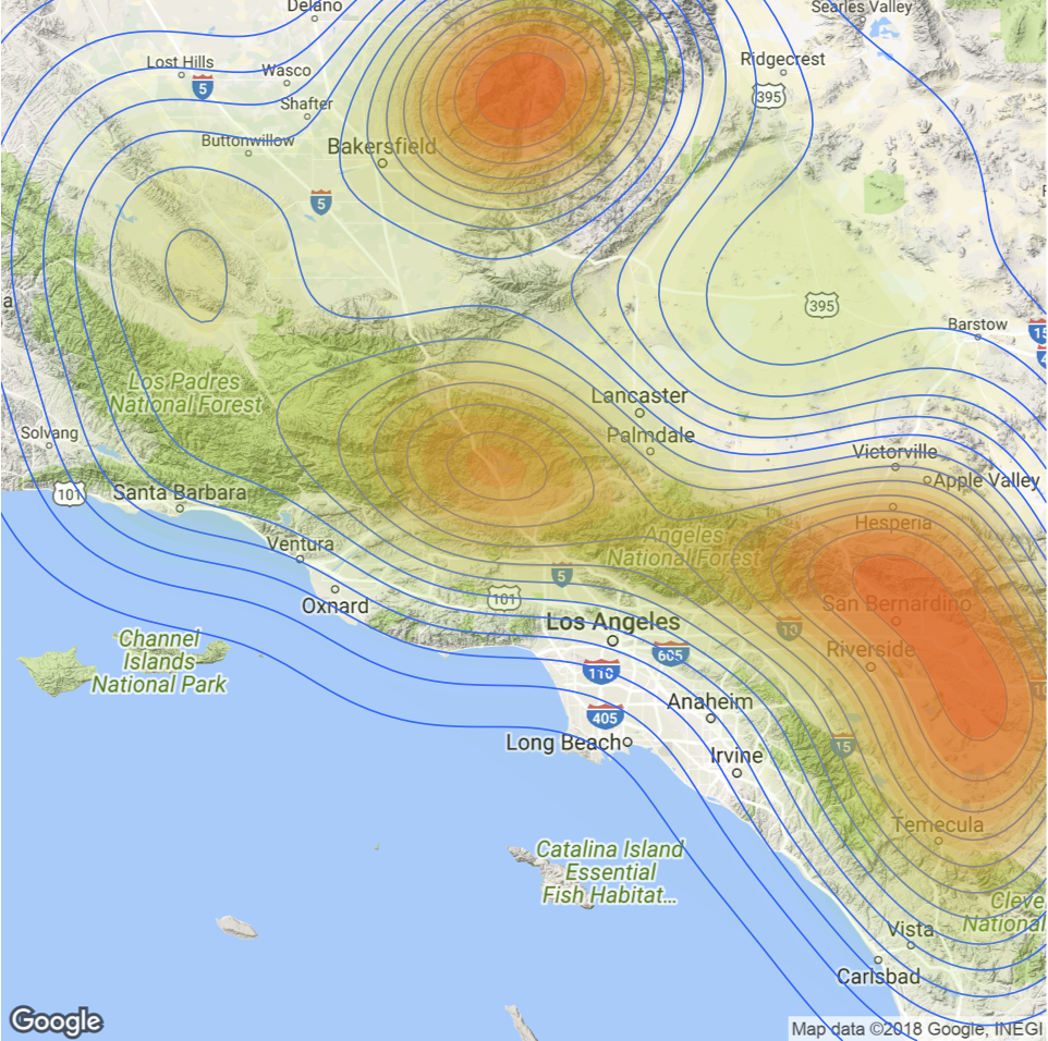
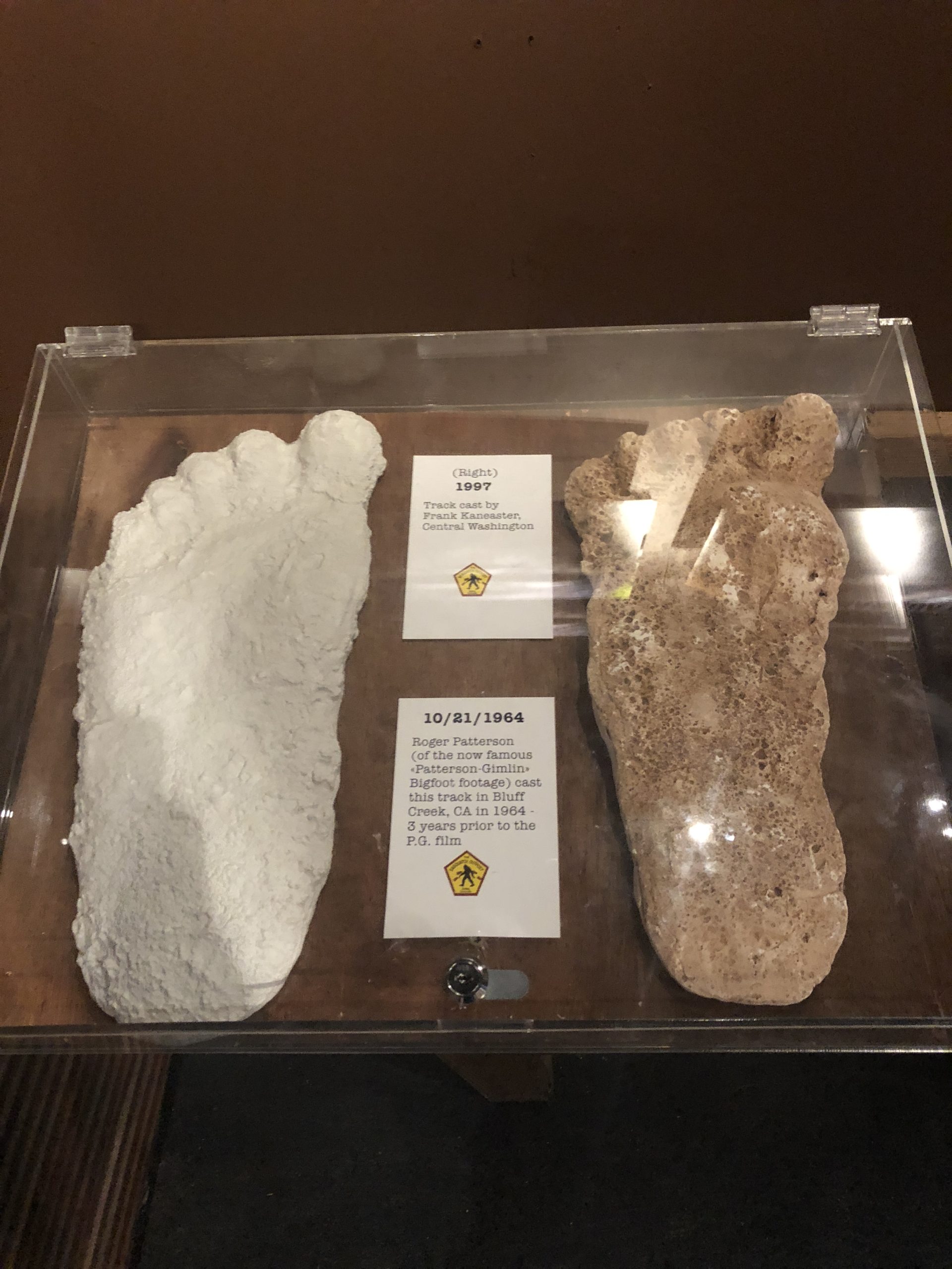
Mapping Clusters of Sasquatch Sightings
There are two previous articles in this series. Complete the activities in these articles before attempting to work through this tutorial. Introduction to GIS Analysis using Sasquatch SightingsSpatial Squatch – Using the ArcGIS Pro Spatial Statistics Toolbox to...
Spatial Squatch – Using the ArcGIS Pro Spatial Statistics Toolbox to Identify Sighting Patterns
In the first article in this series – Introduction to GIS Analysis using Sasquatch Sightings – you learned how to use basic ArcGIS Pro tools for spatial analysis. As with most other GIS projects there is always a significant amount of data preparation and...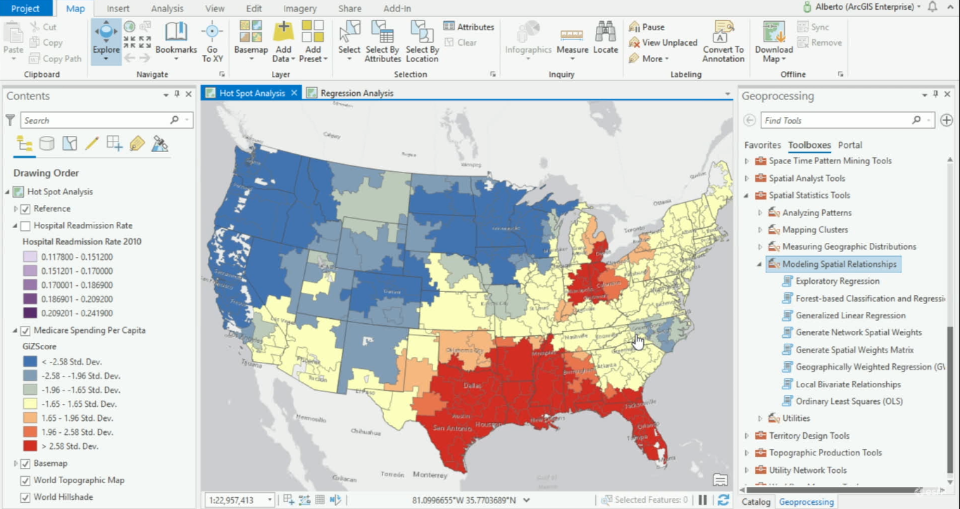
Modeling Spatial Relationships with ArcGIS Pro
ArcGIS Pro offers various geoprocessing tools for modeling spatial relationships. ArcGIS Pro 2.4 offers one new tool for modeling spatial relationships and expands its Ordinary Least Square’s tool, now renamed Generalized Linear Regression tool. When variables are...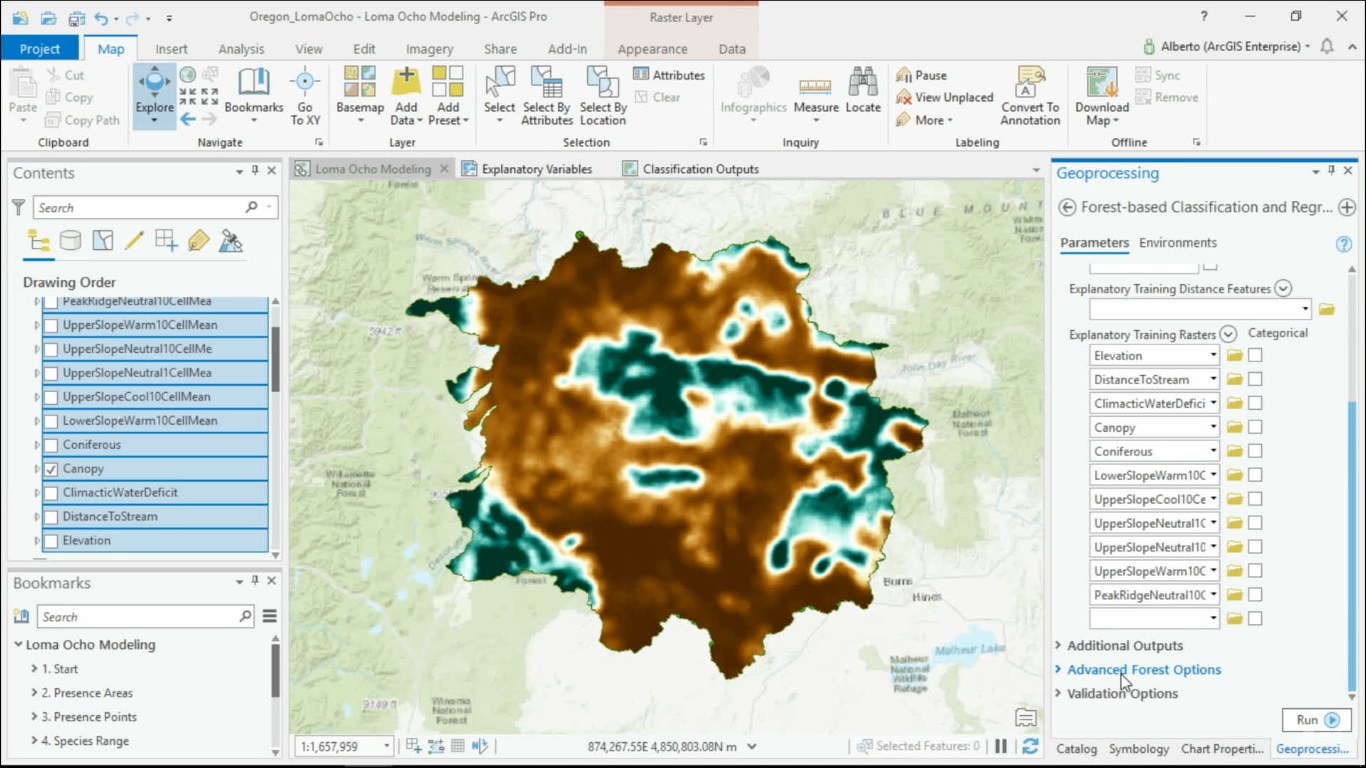
Spatial Machine Learning with ArcGIS Pro
Now that machine learning algorithms are available for everyone, they can be used to solve spatial problems. ArcGIS Pro offers different Spatial Machine Learning tools that enable classification, clustering and prediction of spatial data. Traditional Machine Learning...