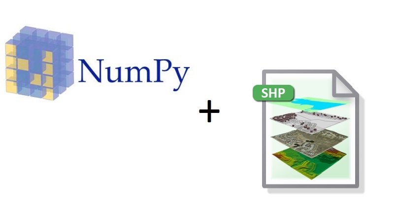
Getting Started with NumPy and Spatial Data
This is a short beginners tutorial for ArcGIS users who are interested in learning about basic NumPy functionality. It describes how to create a NumPy array from a shapefile and interact with the attribute table data inside of it, making simple data queries. The goal...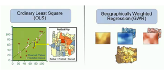
Lecture – Modeling Spatial Relationships in ArcGIS (Regression Modeling)
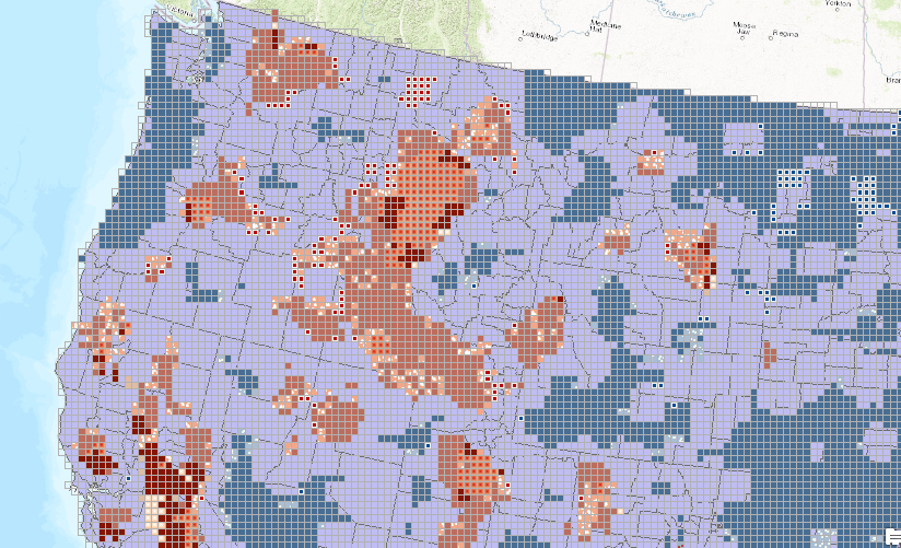
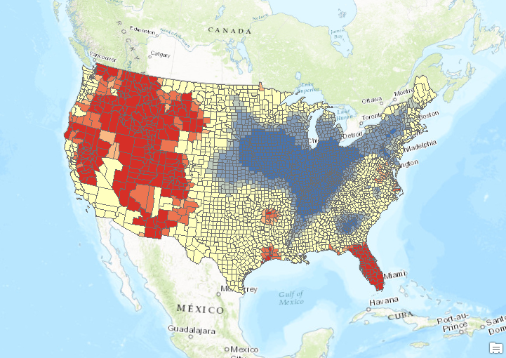
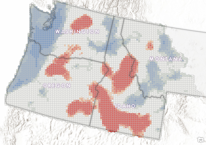
Analyzing Wildfire Activity with Spatial Analytics – Part 4
Part 1 – Analyzing Wildfire Activity with Spatial Analytics Part 2 – Analyzing Wildfire Activity with Spatial Analytics Part 3 – Analyzing Wildfire Activity with Spatial Analytics In part four of our installment on using spatial analytics to examine...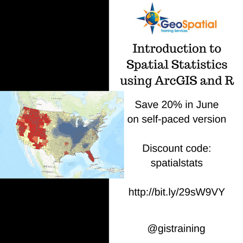
June Sale – Save 20% on Introduction to Spatial Statistics using ArcGIS and R
In June you can save 20% on the self-paced version of our Introduction to Spatial Statistics using ArcGIS and R. Simply enter the discount code: spatialstats when checking out. This applies only to the self paced version. Other Live Classes: August 10th and 11th –...