

Save 15% on Annual GIS Training License
During the month of September you can save 15% on an Annual GIS Training License for organizations with 2 or more students. Our Annual GIS Training License provides access to 35 of our self-paced courses for one low price. Click here for more information. The...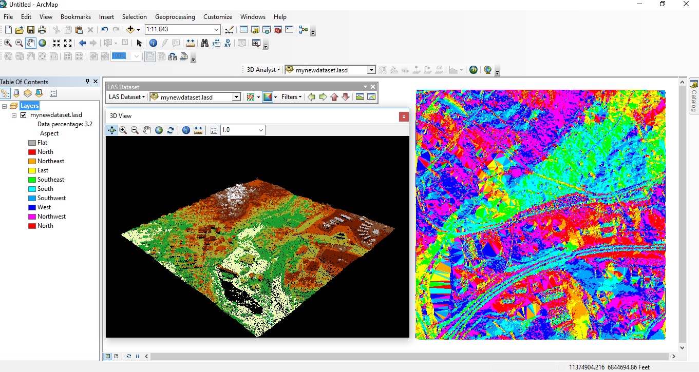
Displaying LiDAR Data in ArcGIS Desktop
Since the release of version 10.1, ArcGIS Desktop offers native support for LAS files, the industry-standard binary file format for storing airborne LiDAR data. Introduced in version 10.2.2 of ArcGIS Desktop, the LAS Dataset file is a new file format for storing...
Webinar – Tips and Tricks for Passing GIS Certification Exams
A growing number of GIS certifications now require an exam if you wish to earn the credential. Many of us have not taken an exam since college so are not really prepared for what we might face. This presentation will focus on tips and tricks that will help you prepare...
Esri and Big Data: What’s New and What’s Next
Big data was a major topic during this year´s Esri UC. This blog post discusses a number of new and upcoming Esri products that deal with big data. By Eric van Rees What is big data? The term big data refers to datasets that are so large or complex that traditional...