
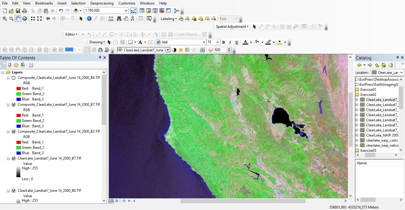
Imagery Tools in ArcGIS Desktop
Airborne and satellite imagery these days is available in multiple bands, which gives the user the opportunity to enhance and use it for a wide range of applications. This blog describes some of the tools available in ArcMap to do this. By Eric van Rees...Webinar Recording – Introduction to the Spatial Statistics Toolbox in ArcGIS
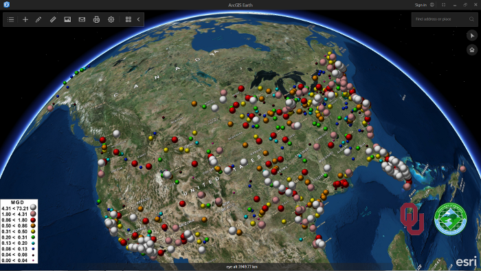
ArcGIS Earth 1.1: What’s New and What’s Next
Last April, Esri announced the second release of ArcGIS Earth, version 1.1. This blog post discusses a number of new features that come with this new release, as well as Esri´s roadmap for upcoming releases and features. Last January, Esri released a new software...
ArcGIS Pro 1.3 Released
Esri continues to work and improve on its newest desktop GIS application, ArcGIS Pro. For those that may not be aware of ArcGIS Pro, it is a completely new 64-bit desktop GIS application that makes use of a modern ribbon based interface. Being 64 bit, it can take full...