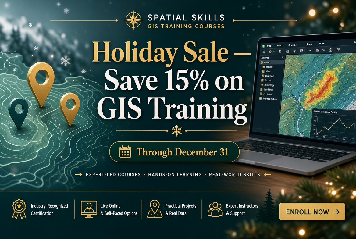
Our annual holiday sale starts today. From now through December 31, you can save 15% on any Geospatial Training Services class.
If you’ve been putting off a course, or you have training budget left to spend before the year ends, this is a good time to sign up.
What’s included
The 15% discount applies to everything we offer:
- Self-paced classes you can take on your own schedule
- Live online classes taught by an instructor in real time
- In-person classes
- The Annual GIS Training License (discount already applied) with a full year of access to all our self-paced courses
- All training bundles
That covers our full catalog of ArcGIS Pro, ArcGIS Online, Python, and AI courses.
Use the discount code ‘holiday’ at checkout to apply your 15% discount.
A few ways to use the sale
Get a year of training at once. The Annual GIS Training License gives you 24/7 access to every self-paced course we offer, including the five new classes we released this year: Making Amazing Maps in ArcGIS Pro 3, Automating ArcGIS Pro Tasks with AI-Generated Python Code, Introduction to GIS Analysis in ArcGIS Pro, Introduction to COGO Editing in ArcGIS Pro, and Introduction to the Geodatabase in ArcGIS Pro.
Lock in a spot in an upcoming live class. Our two newest courses run live online in March: Creating Custom Experience Builder Apps and Widgets Using AI on March 15 and Customizing ArcGIS Dashboards: From Default Settings to Arcade Expressions on March 17. Register before December 31 and you’ll pay the sale price.
Pick up a bundle. If you’re working toward a specific skill set, our training bundles group related courses together for ArcGIS Pro, ArcGIS Online, and automation. You can also build your own bundle. The discount applies to the whole bundle.
How to save
Use the discount code holiday at checkout to take 15% off.
Browse the full course catalog to find the right class. The sale ends December 31, so don’t wait too long. Questions? Call us at 1-210-260-4992.
