
ArcGIS Pro Courses
Making Amazing Maps in ArcGIS Pro 3
8 GISP Credit Hours
This course is for ArcGIS Pro users who are ready to elevate the visual quality and impact of their maps. Whether you’re producing maps for public presentations, government reports, executive briefings, web content, or social media, this course will teach you the advanced cartographic techniques and visual effects that turn functional maps into compelling visual products. Students should have working knowledge of ArcGIS Pro’s interface, symbology, labeling, and layout tools. No extensions are required.
Students will need to be assigned an ArcGIS Pro 3.x Basic or higher license from their organization prior to class which can be accessed from the web. No extensions are required. Students will also need access to an ArcGIS Online organizational account. This should be verified prior to the start of class.
- Module 1: Custom Basemaps and Symbol Libraries
- Module 2: Advanced Symbology and Visual Effects
- Module 3: Advanced Labeling and Annotation
- Module 4: Professional Map Production and Design
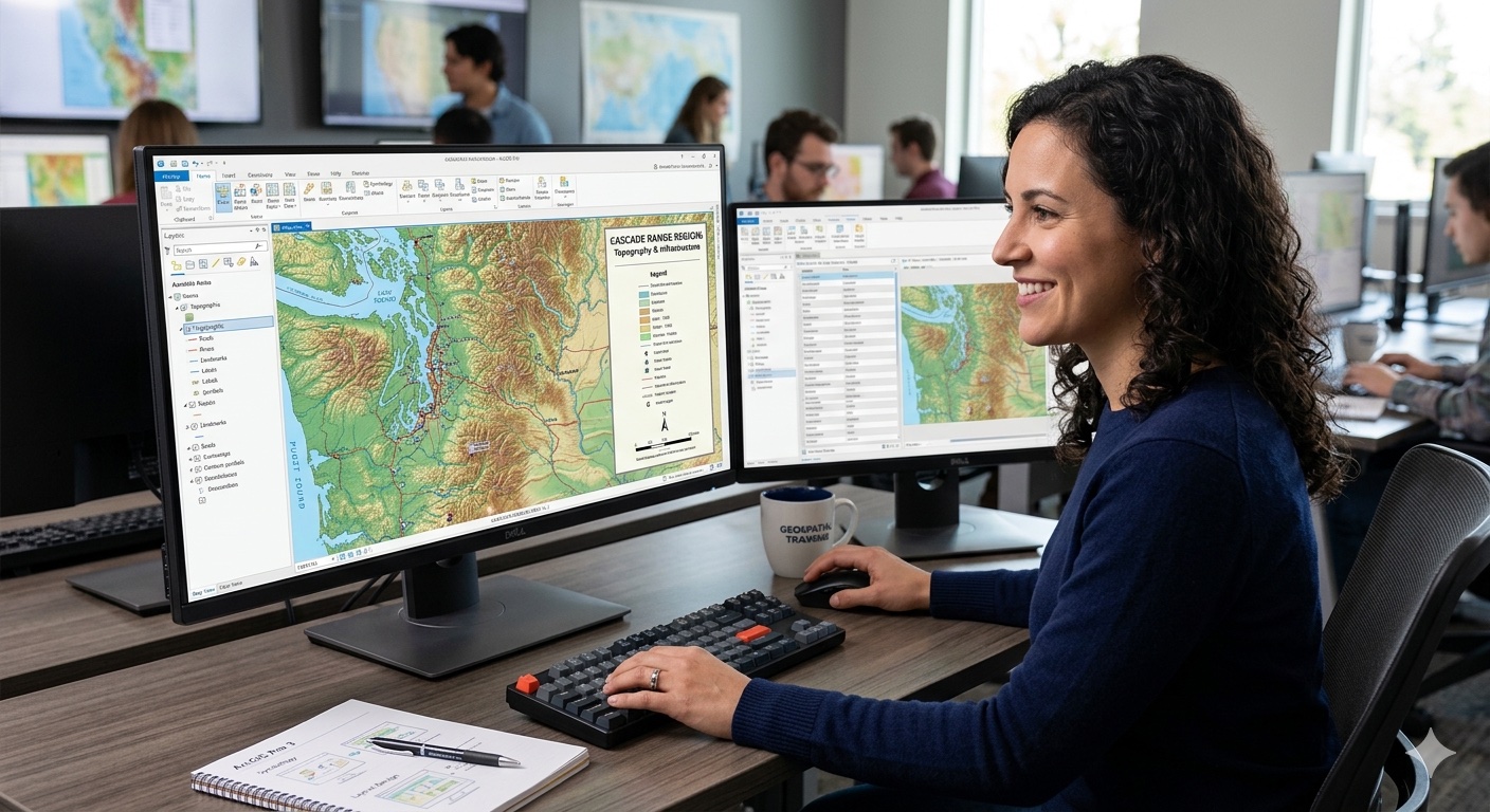
Most GIS professionals know how to make maps. Far fewer know how to make maps that command attention and communicate effectively. This 1 day course bridges that gap.
You’ll start by building a custom basemap and symbol library that give your maps a unique visual identity — no more default symbology that looks like everyone else’s work. Then you’ll learn the visual techniques that most ArcGIS Pro users never discover: layer blending modes that create depth by fusing thematic data with terrain, firefly cartography that makes point data glow on dark backgrounds, heat maps and feature binning for visualizing massive datasets, bivariate symbology for showing two variables simultaneously, and Arcade-driven dynamic symbology that calculates classifications on the fly.
In Module 3, you’ll master the Maplex Label Engine — the powerful automated labeling system that most users barely scratch the surface of. You’ll learn how to create multiple label classes with different styling, write Arcade label expressions for dynamic multi-line labels, configure fitting strategies and priority rankings, and convert problem labels to annotation for pixel-perfect manual control.
Module 4 brings everything together with cartographic design principles — visual hierarchy, color theory, colorblind accessibility, typography, and professional layout composition. You’ll create infographic-style layouts that combine maps, charts, and statistics into self-contained analytical products. You’ll also learn map animation for presentations and social media, and export optimization for print, web, and video.
Boise, ID
January 13th
$200
Register
Don’t want to purchase online? You can also register for classes using our registration form.
This course made it less intimidating to switch from ArcMap to ArcGIS Pro. So glad I attended.
Student, Idaho State Tax Commission
Knowledgeable instructor, well paced class, applicable information covered, hands-on style.
Brandon Clark, Alabama Power
I strongly and highly recommend it
Matt Gubitosa, U.S. EPA
I really enjoyed the Python/ArcGIS course. For me the right balance between detail and overview. Good work!
Pal Herman Sund
I thought the course was very organized. The style of presentation and the lesson format worked well together. It made the information easy to understand. -
Kyle Lockhart, Escambia County, FL
Class was well organized, well paced and I learned a lot.
Aleeta Zeller, Chattanooga RPA
Definitely got me "over the hump" of being able to grasp Python.
Joseph Monti
These courses are great. I am so pressed for time this is the only way I can acquire extra skills these days. Thank you Eric for all your hard work!
Chris Hickin, NYC Fire Dept.
I have attended a number of instructor-led training courses offered by ESRI, which are great in their own right, but the Mastering the ArcGIS Server JavaScript API course gets much more in-depth than they often do. I really liked the recommended reading, they helped expand the terms being covered in lecture to concrete examples that could be related back to my work more directly instead of just having the lecture and exercises alone. I learned a lot andwill recommend this and other GeoSpatial Training courses to the GIS'ers I know. Thanks for putting this course together and offering it.
Jason Warzinik, Boone County, MO
Really good course material. Very relevant subject matter.
Michael Philp, City of Springville, UT
Very informative and knowledgeable course. It help determine which direction I should take my further GIS and web programming skills.
Chris Pollard, Delaware Valley Regional Planning Commission