How to Survive the Deprecation of Classic StoryMaps & Web AppBuilder
Classic StoryMaps have been in extended support since September of 2021. Because extended support will end in October of 2023, ESRI has been urging customers to transition their applications as soon as possible. What does this mean? When Extended Support ends, Mature...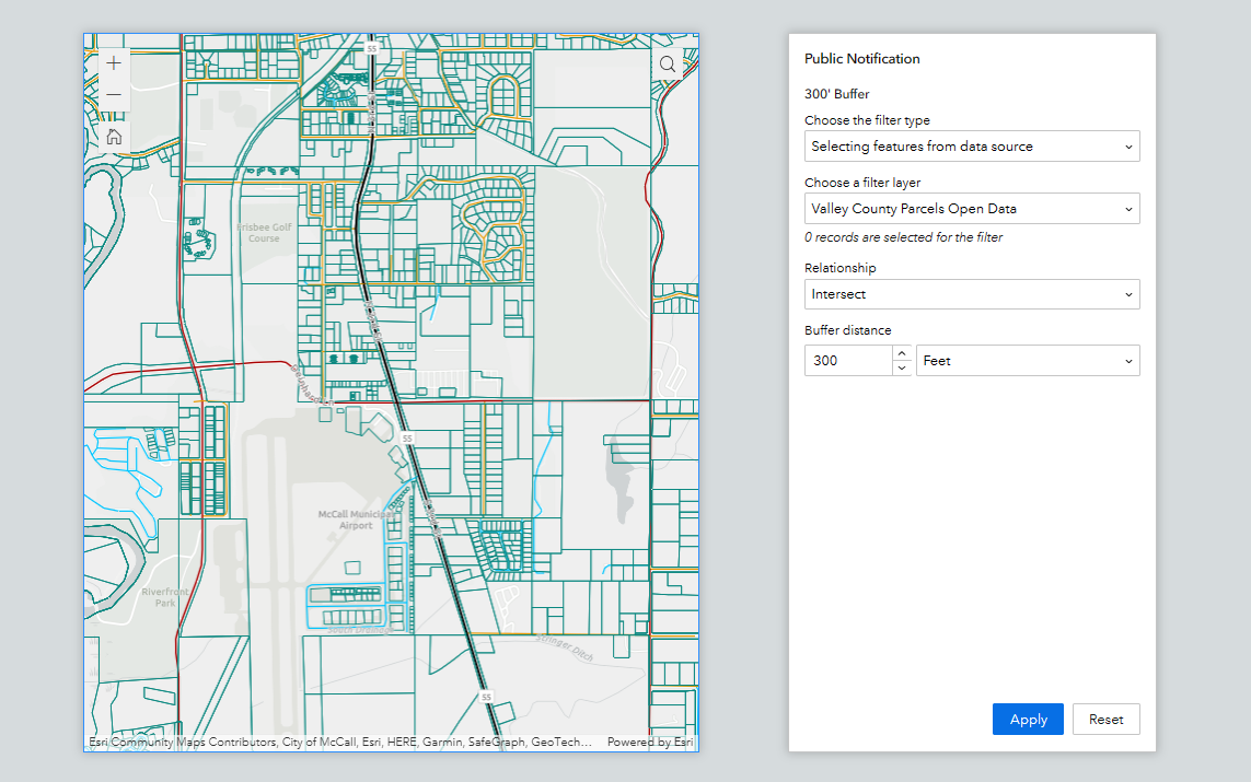
How to configure the Query Widget with a Spatial Buffer in Experience Builder
With every iteration of Experience Builder comes extended functionality and new and improved ways of configuring your application widgets. Experience Builder (EB) will be replacing Web AppBuilder (WAB), and sooner than later, so finding the same functionality in EB...
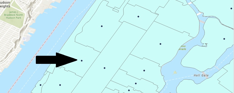
Use Arcade to Pull Field Attributes from a Polygon Layer into a Point Layer Pop-up
Dynamic labeling and visualization have become a lot easier with the release of Arcade. Arcade can be used to assist with labeling, symbology rendering, field calculation, and pop-up content. The question used to be; how do you display data when there is no...
Tutorial: Working with a Graphics Layer
In this tutorial, we’ll be working with graphics layers using raster and vector data. We’ll create an example of a graphic layer to illustrate map features using text and imagery. What is a graphics layer? Graphics layers are layers that can contain graphics, such as...