From Pirates to Watercolors, learn how to customize unique maps in ArcGIS Pro with ESRI Creative Styles.
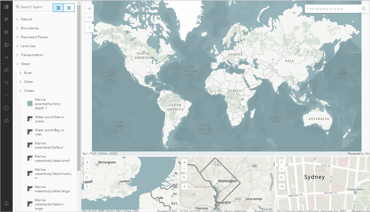
Did you know ESRI has more than 20 unique styles you can add to your ArcGIS Pro Projects to help you customize creative and fun maps? Read below to learn how to customize unique and colorful maps by adding ESRI Creative Styles to your project. What are ESRI Styles and...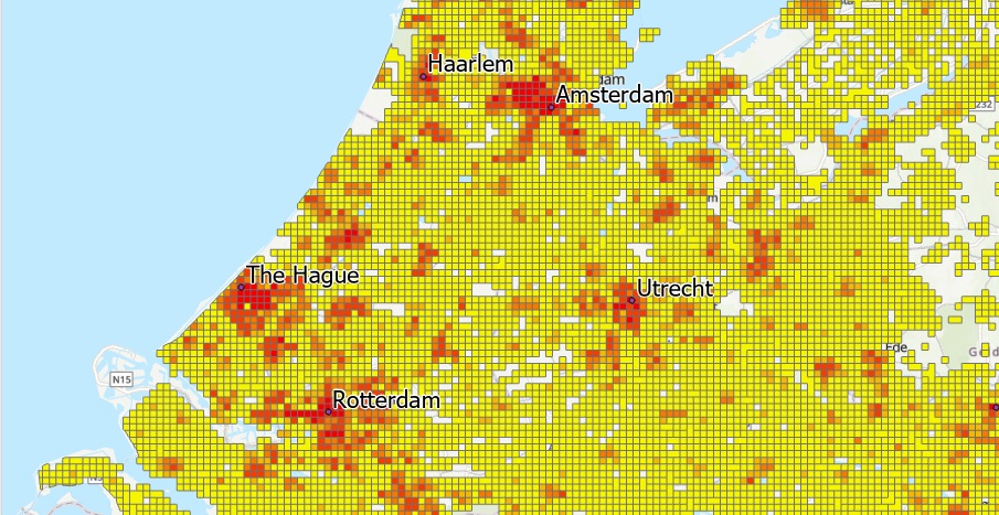
Tutorial: How to Quickly Classify Thousands of Polygon Features
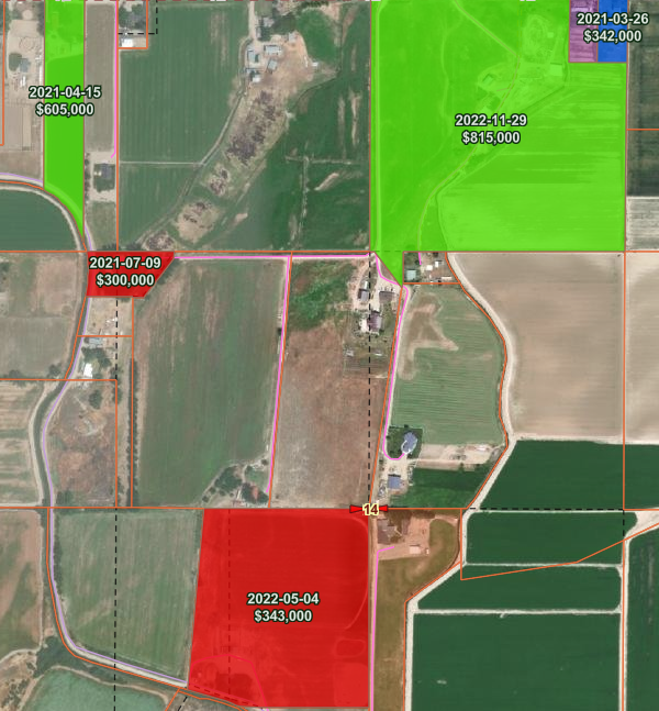
In this tutorial, we’ll cover multiple ways of managing large amounts of features and classifying them in ArcGIS Pro. When you’re working with thousands of features within a single feature class within Pro, these can be difficult to manage. They affect performance,...
Choosing Map Colors for Colorblindness, Contrast and Balance: Color Choice can Make or Break your Map Message
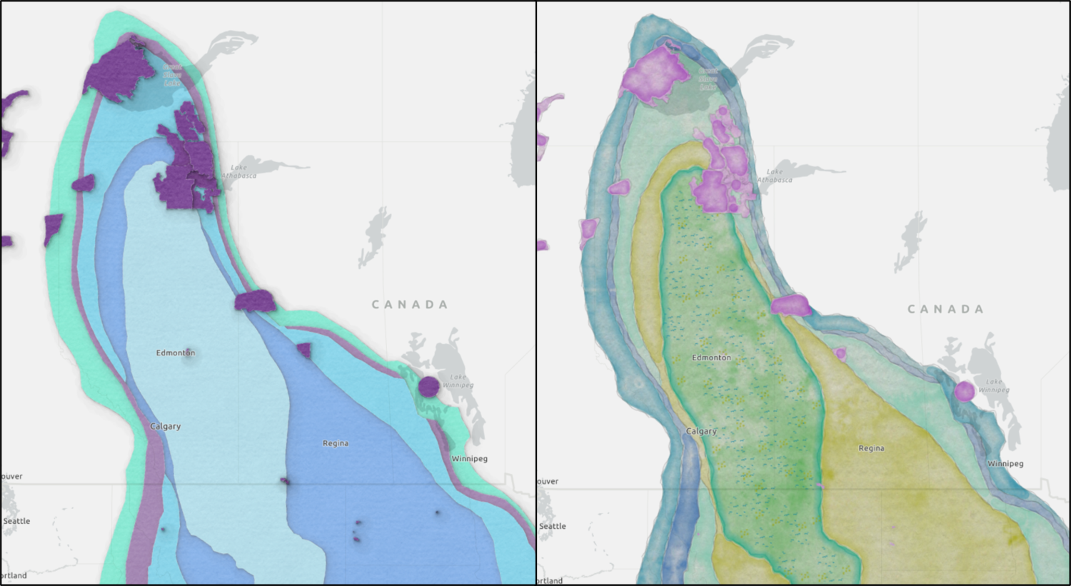
Color is an important symbol that helps convey the underlying meaning of your map. Color design and theory are as important in cartography as it is to make sure you include the key layers necessary to tell a meaningful story for your target...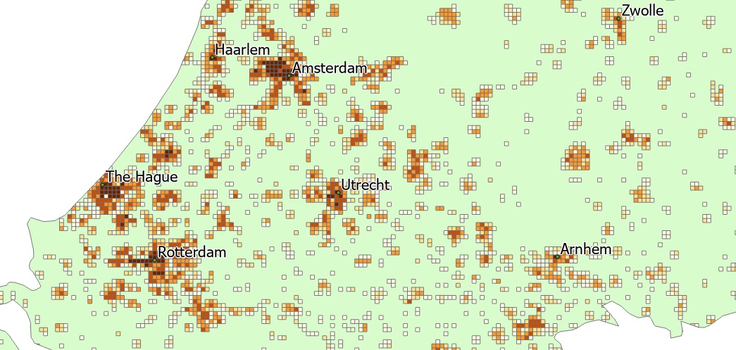
Tutorial: Mapping Population Density with ArcGIS Pro
ArcGIS Pro offers some powerful functionality to map population density. In this tutorial, we’ll use population density data from the European Union to map population density values using the Natural Breaks (Jenks) method of classification. This method of...