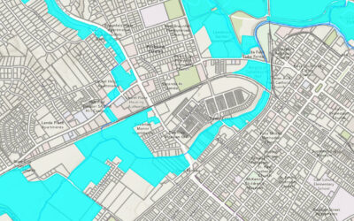
Check out our upcoming in-person ArcGIS Pro training in Denver, Billings, MT and other locations. The "Select by Location" tool in ArcGIS Pro is a powerful feature that allows users to select features based on their spatial relationships to other features within the...
Articles & Tutorials
The Essential Guide to Attribute Selection in ArcGIS Pro
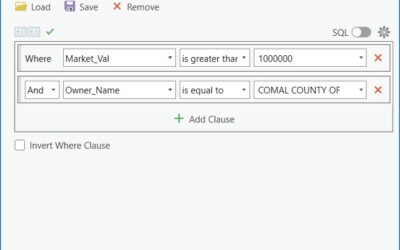
Check out our upcoming in-person ArcGIS Pro training in Denver, Billings, MT and other locations. Introduction In our last article we examined how to use interactive selection tools in ArcGIS Pro to filter features with a user defined geometry. ArcGIS Pro includes...
Creating Interactive Selection Sets in ArcGIS Pro: A Comprehensive Guide
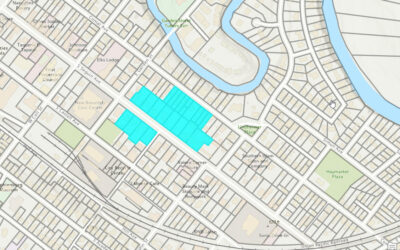
Check out our upcoming in-person ArcGIS Pro training in Denver, Billings, MT and other locations. Introduction For GIS professionals the ability to efficiently select and analyze subsets of data is crucial. ArcGIS Pro offers robust tools for creating and managing...
ArcGIS Pro Packages Explained: Simplifying Geographic Data Distribution
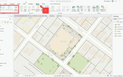
The efficiency and effectiveness of spatial data management is paramount to GIS professionals. ArcGIS Pro offers versatile and powerful features known as 'packages', designed to streamline the process of sharing and managing geographical data. This article delves...
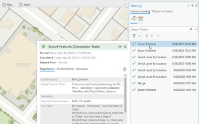
A Closer Look at ArcGIS Pro’s History Pane: Maximizing Workflow Efficiency
Introduction ArcGIS Pro offers a range of innovative features, among which the History Pane stands out. This article focuses on the functionalities and importance of the underutilized History Pane in ArcGIS Pro, highlighting how it enhances GIS workflows and project...
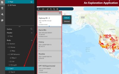
Navigate in Experience Builder using the Page Outline
Experience Builder is unlike any of the ArcGIS Online (AGO) application builders we have experience thus far in the evolution of dynamic GIS software. It's incredibly flexible and allows for complex layouts where widgets can be embedded in widgets that are embedded in...
Discover the Exciting New Features in ArcGIS Pro 3.2!
ArcGIS Pro 3.2 is out, and it's packed with some cool new features that are worth chatting about. Read below to find out more. 1. Easy Data Management Create Schema Reports: You can now generate a schema report of your geodatabase in different formats, such as CSV,...
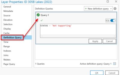
Understanding SQL Syntax and Dialects in ArcGIS Pro
Structured Query Language (SQL) is a standard programming language used to access, manipulate, and extract information. You might have heard SQL pronounced as "Ess-cue-ell" or you may have heard it referred to as "Sequel". The latter originated from SQL being a...
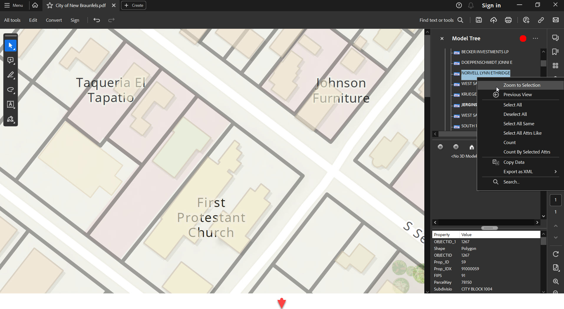
Exporting Vector PDF Maps in ArcGIS Pro
ArcGIS Pro is the next-generation GIS software that has taken mapping, analytics, and sharing of geospatial data to the next level. One of its capabilities is to export high-quality vector maps in the form of PDFs. This feature is especially beneficial for...
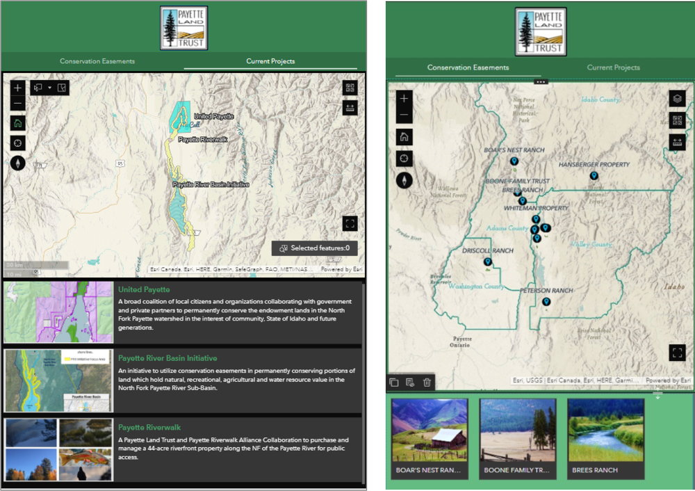
Configure Experience Builder Mobile Views: Tips and Tricks
For the success and credibility of your map applications, it is important to provide users with a single URL. This universal URL should take a user to your application and provide them with an ideal layout regardless of their screen's size. Today's technology is...

