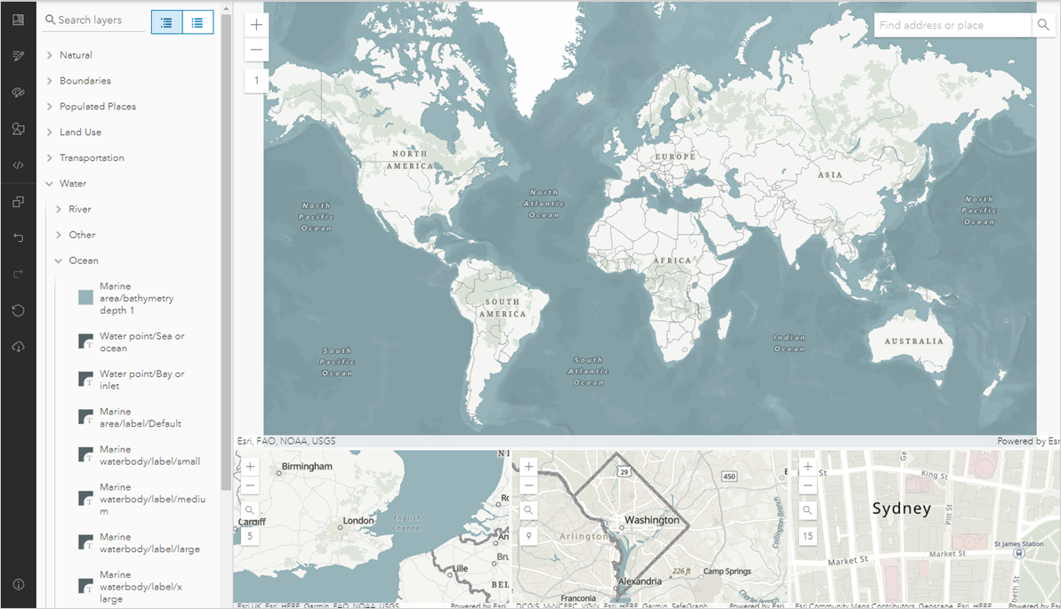
In this tutorial, we will be using Python’s Calculate Field tool along with Python to manipulate existing attribute field values and create new ones. When working with attribute data, you might want to change existing field values or create new ones. Pro offers the...
Articles & Tutorials
Working with Gridded Population Data in ArcGIS Pro
In this tutorial, we will be working with gridded population data and learn how to calculate population totals for an area of choice: London Metropolitan area. Gridded population rasters divide a geographical area into many equally sized rasters with a total...
Videos: Working with Tables in ArcGIS Pro
There are two basic types of tables in ArcGIS Pro: spatial tables and standalone tables. Spatial tables, sometimes called attribute tables, are always attached to a geodatabase feature class or shapefile, while standalone tables, which are often called non-spatial...
Video: Working with Highlighted Rows in ArcGIS Pro
The Table View in ArcGIS Pro supports highlighted rows. Highlighted rows are essentially nested selection sets or selection sets within selection sets. To create one or more highlighted rows simply use your mouse to click in the gutter of a row. You can select...
Creating and Populating a Mosaic Dataset in ArcGIS Pro
In this tutorial, we will create a mosaic dataset in ArcGIS Pro and populate it with raster images that can be used for further analysis. A mosaic dataset in Pro can be regarded as a subclass of a file geodatabase. They are used to manage raster data: creating a new...
Calculating Attribute Values in ArcGIS Pro with the Calculate Field Tool
The ArcGIS Pro Calculate Field tool (also known as the Field Calculator) is used to mass populate attribute values for a field in a spatial or standalone table. If there are selected records in the table, the attribute value will be applied only to the selected...
Populating a Feature Class in ArcGIS Pro using an Insert Cursor in Arcpy
This is a short tutorial for ArcGIS Pro users that shows how to use the arcpy module for creating a shapefile with a number of attribute field values and pass on a list of values using an insert cursor. In this tutorial you will learn the following: Create a shapefile...
Web AppBuilder Video Tutorials
Below is a series of YouTube video tutorials on WebAppBuilder. Be sure to subscribe to our YouTube channel so you can be alerted to future videos. https://youtu.be/gZcsAueSXJk https://youtu.be/DZR9uCw-XZM https://youtu.be/227wBG8yqcY...
Data Exploration and Analysis with ArcGIS Notebooks
This is a short tutorial where we use ArcGIS Notebooks inside ArcGIS Pro to do data exploration and analysis. In this tutorial you’ll learn the following: How to create a new Notebook inside an ArcGIS Pro projectHow to reference a local workspace using arcpyHow to...
Layer Blending in ArcGIS Pro
ArcGIS Pro 2.7 introduces a new tool for applying visual effects called layer blending. We’ll have a look at different ways to apply layer blending with raster layers. What is layer blending? Layer blending is a feature that has been available in QGIS for some time...