Training a Deep Learning Model using Drone Imagery and ArcGIS Pro
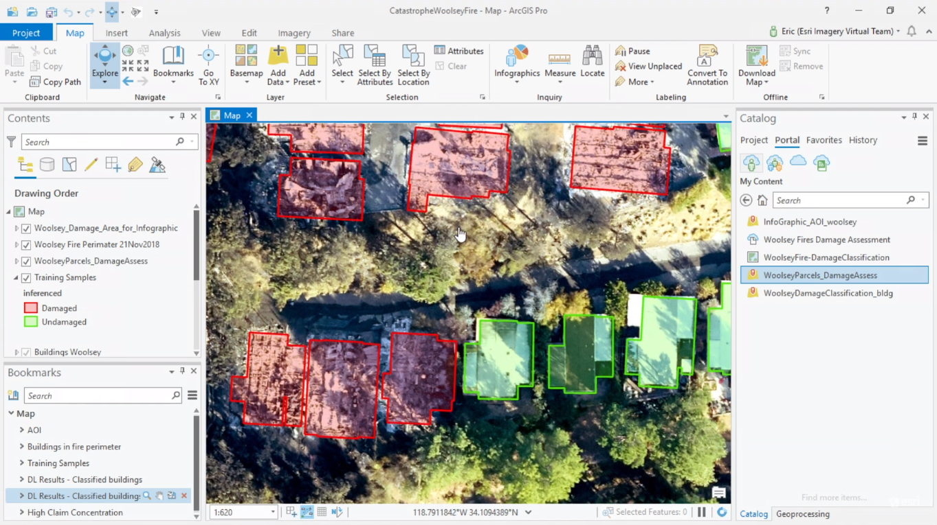
This year’s Esri User Conference plenary sessions featured a presentation showing how an insurance company in San Antonio, Texas uses ArcGIS Pro to train neural deep learning networks, in order to automate and speed up damage assessment and building footprint...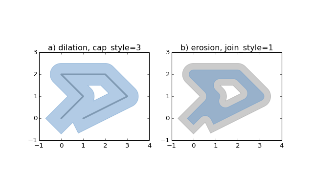
Accessing Geospatial Data with PyShp, Shapely and Fiona
The new 1.5 version of the ArcGIS API for Python integrates the PyShp, Shapely and Fiona packages, so that vector data from other libraries can be accessed through the API as well. Let’s have a look at the these three Python libraries and how they are used within the...
New ArcGIS Pro Class Bundle
Our new ArcGIS Pro Class Bundle gives you self-paced, online access to 6 ArcGIS Pro classes for one low price of $499/student. This bundle includes the following classes:
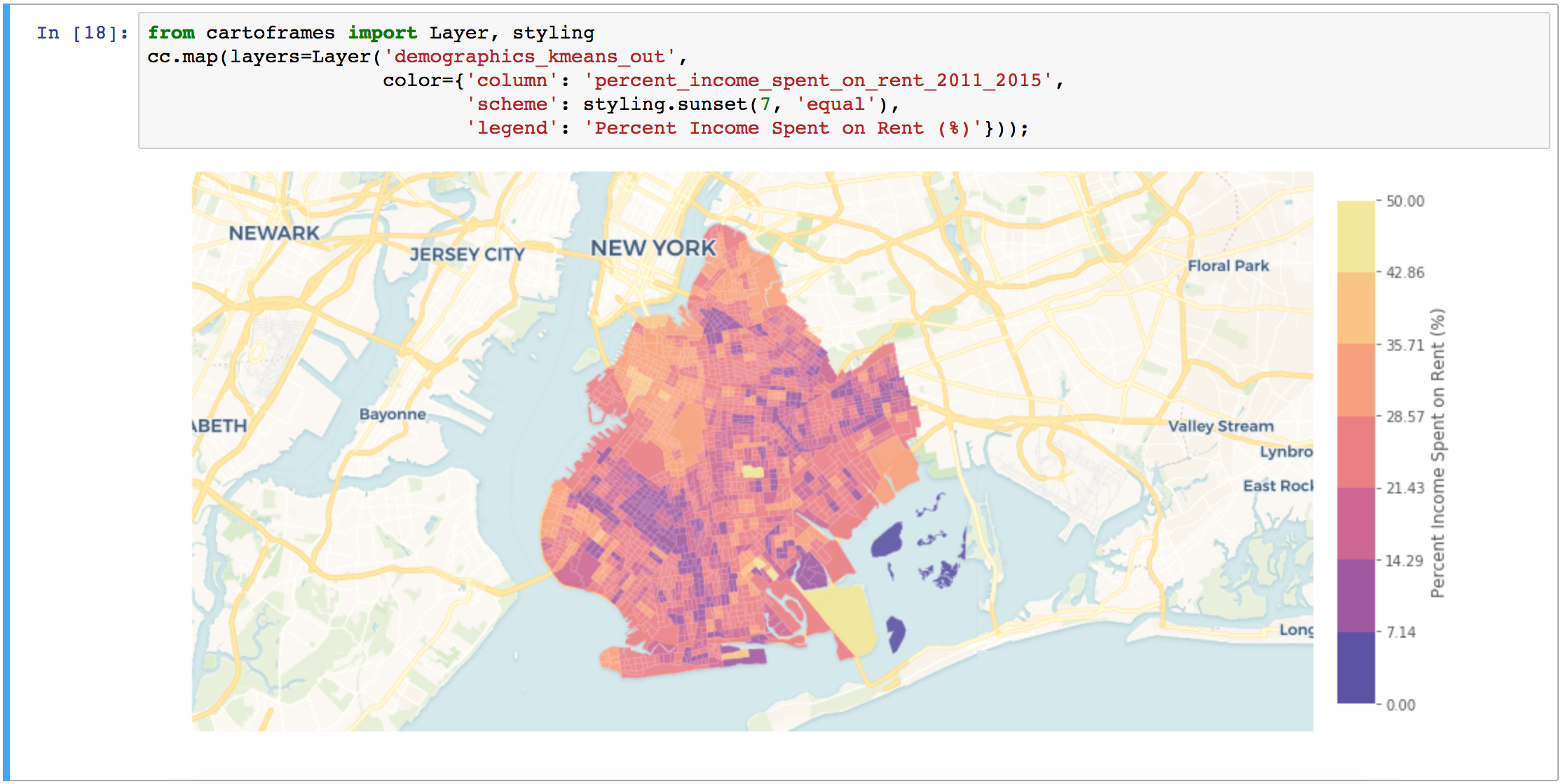
Introducing Spatially Enabled DataFrames
The new 1.5 release of the ArcGIS API for Python finally allows users to read spatial data as pandas DataFrame objects. As a result, manipulating geometric and attribute information of spatial data has become a lot easier. Although previous versions of Esri’s ArcGIS...