
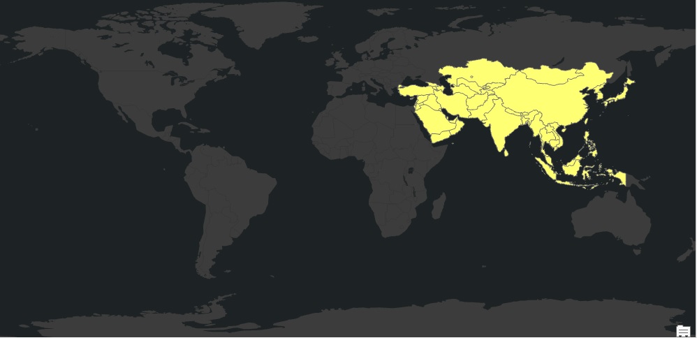
Accessing Geospatial Data with PyShp, Shapely and Fiona
The new 1.5 version of the ArcGIS API for Python integrates the PyShp, Shapely and Fiona packages, so that vector data from other libraries can be accessed through the API as well. Let’s have a look at the these three Python libraries and how they are used within the...