Mapping the US Housing Affordability Gap: Simple Techniques with ArcGIS Pro, R, and AI
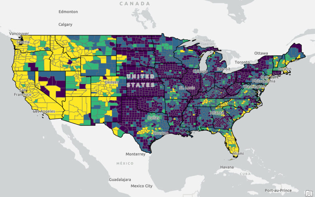
This article explores the significant disparities in housing affordability between the coastal regions of the United States and the Midwest. Here we present an R script that merges 2022 county-level median income data with the Zillow Home Value Index (ZHVI), a...
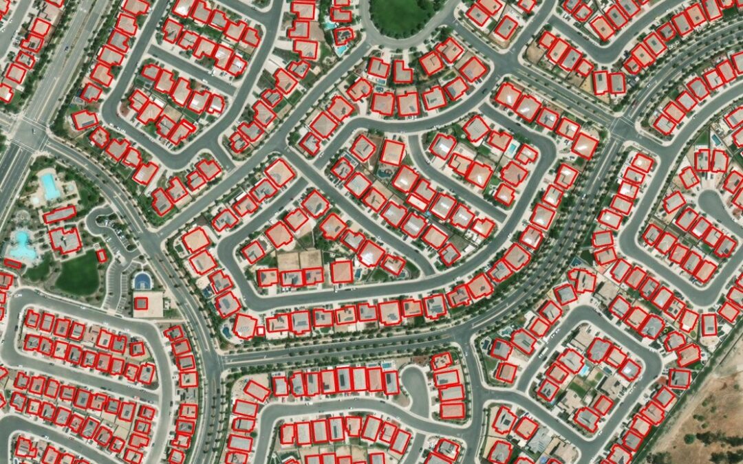
How to Master ArcGIS Pro and Experience Builder
The retirement of ArcMap and Web AppBuilder is here and, unfortunately, can’t be ignored. Yet, many GIS users are still struggling to take the first steps toward learning ArcGIS Pro and Experience Builder. This is not uncommon and is understandable. Because we...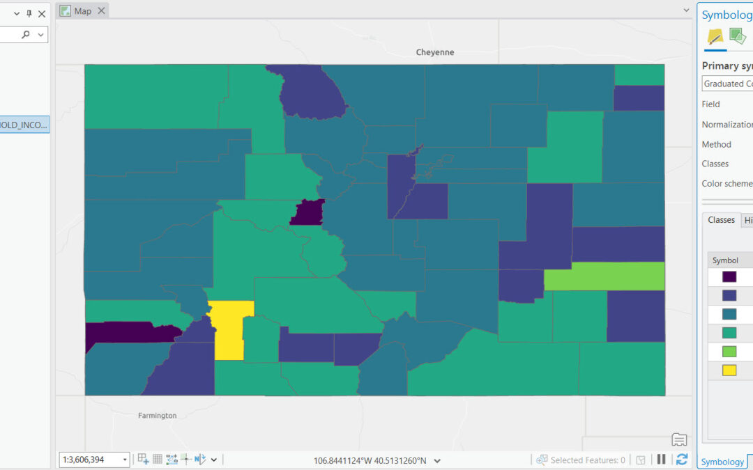
Mastering Class Definitions in ArcGIS Pro for Impactful Graduated Color Maps
If you want to learn more about using symbology functions like those described in this article, check out our foundational ArcGIS Pro courses and upcoming training events. Graduated color maps are a type of thematic map used to represent the spatial distribution of...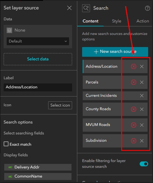
What to do when things break in Experience Builder due to software updates.
Why do things break in Experience Builder after software updates? There is a lot going on in the background of our application builders that we don’t see. The scripts that drive our applications, the backend connections that allow us to streamline our workflows,...