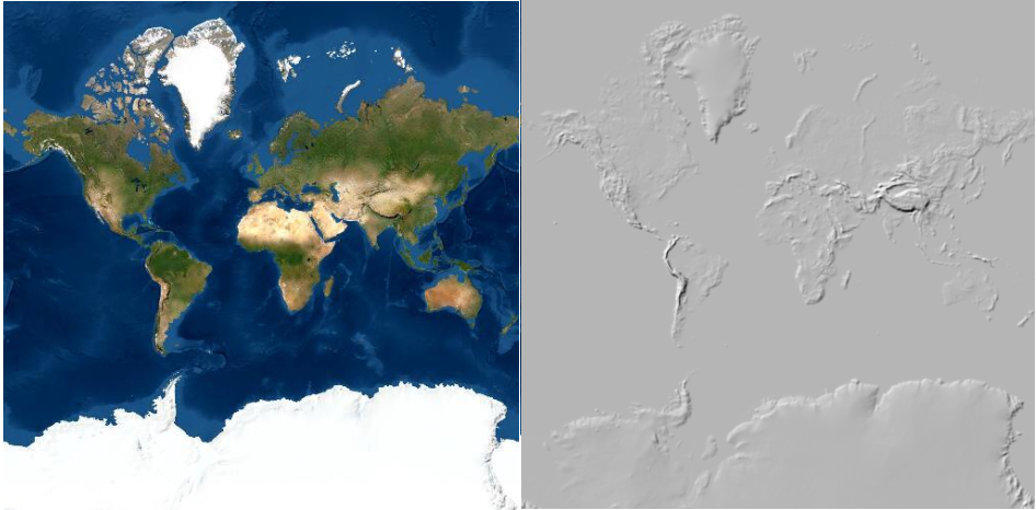
Layer Blending in ArcGIS Pro
ArcGIS Pro 2.7 introduces a new tool for applying visual effects called layer blending. We’ll have a look at different ways to apply layer blending with raster layers. What is layer blending? Layer blending is a feature that has been available in QGIS for some time...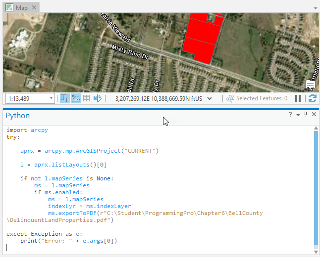
Tutorial – Automating the Production of a Map Series with Arcpy
In a previous article you learned how to create a map series using ArcGIS Pro. In this article we’ll expand upon that article and show you how to use Python with the arcpy mapping module to automate the export of maps in a series to a PDF file. As a review, a...
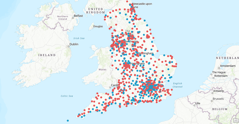
Working with Label Classes
Label classes are used to restrict labels based on certain features or to specify field, symbols, sale ranges, and other options for groups of labels. They can be used to specify different label properties for features in the same layer. For example, for a...
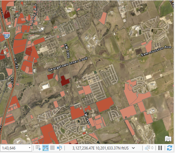
Limiting Labels with SQL Queries in ArcGIS Pro
There may be times when it makes sense to limit the features that will be labeled in a layer. This is often the case when you have a layer that contains many features that would look very cluttered if you attempted to label all the features. Attempting to label all...