How to Master ArcGIS Pro and Experience Builder
The retirement of ArcMap and Web AppBuilder is here and, unfortunately, can’t be ignored. Yet, many GIS users are still struggling to take the first steps toward learning ArcGIS Pro and Experience Builder. This is not uncommon and is understandable. Because we...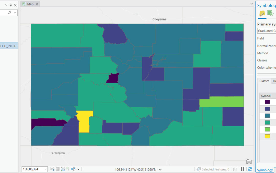
Mastering Class Definitions in ArcGIS Pro for Impactful Graduated Color Maps
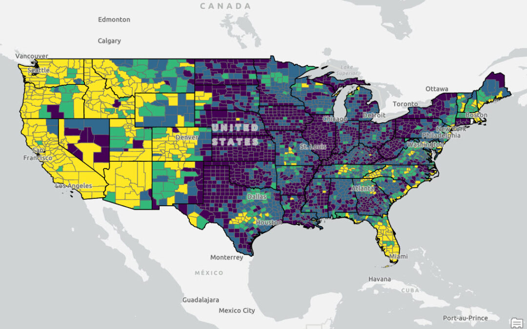
If you want to learn more about using symbology functions like those described in this article, check out our foundational ArcGIS Pro courses and upcoming training events. Graduated color maps are a type of thematic map used to represent the spatial distribution of...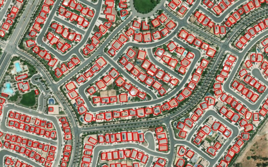
Meet Esri’s Gallery of Pre-Trained AI Models
ArcGIS Online offers 70+ pre-trained AI models that can be used for different ArcGIS platform configurations for tasks such as digitizing and extracting features from imagery and point cloud datasets. Esri’s Living Atlas of the World offers maps, apps, and data layers...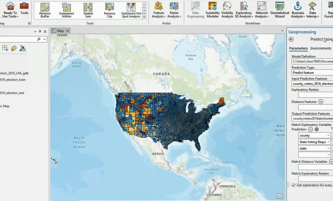
Artificial Intelligence (AI) Capabilities in ArcGIS Pro
ArcGIS Pro offers a set of AI-enabled tools GIS workflows that are meant to simplify workflows and offer advanced capabilities. We’ll look at some of the AI tools that come with ArcGIS Pro and explain how they differ from each other. Artificial Intelligence (AI)...