Tutorial: Sorting Data by Area with ArcGIS Pro
In this tutorial, you’ll learn how to calculate the area of a polygon dataset and sort the results. If you have a set of polygons, you can use easily calculate and add the area of each polygon to its attribute table. This is what we’ll do in this tutorial for a set of...
Tutorial: Combining Multiple Datasets into a New Dataset with ArcGIS Pro
In this tutorial, you’ll learn how to combine multiple datasets into a new one using the Merge tool. In an earlier tutorial, you learned how to use the Append tool to add new data to an existing dataset. This would change the existing dataset, as new records would be...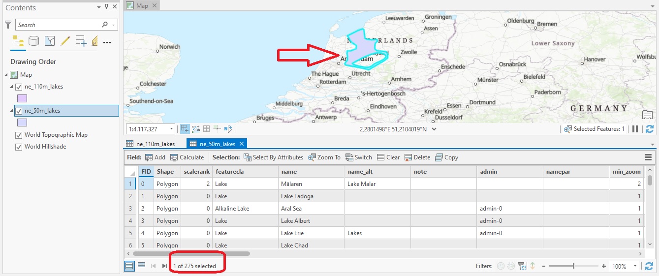
Tutorial: Adding New Features to a Dataset with the Append Tool in ArcGIS Pro
In this tutorial, you’ll learn how to append new data to existing data in Pro using the Append tool. The Append Tool in ArcGIS Pro is used to add new features or other data from multiple datasets into an existing dataset. It adds new data to an existing dataset of the...