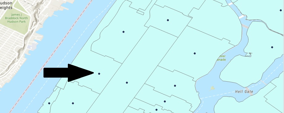
Tutorial: Finding the Geographic Center of a Polygon
This tutorial shows you how to find the center of a polygon using the Point to Feature geoprocessing tool. A real-life example shows why it is important to check the implications of using this tool. If you use point data with information about a surrounding area, you...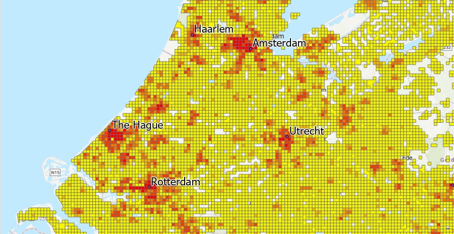
Tutorial: How to Quickly Classify Thousands of Polygon Features
In this tutorial, we’ll cover multiple ways of managing large amounts of features and classifying them in ArcGIS Pro. When you’re working with thousands of features within a single feature class within Pro, these can be difficult to manage. They affect performance,...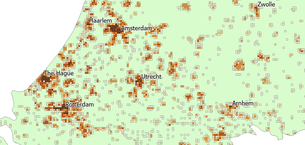
Tutorial: Mapping Population Density with ArcGIS Pro
ArcGIS Pro offers some powerful functionality to map population density. In this tutorial, we’ll use population density data from the European Union to map population density values using the Natural Breaks (Jenks) method of classification. This method of...