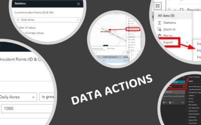
Click here to learn more and view our upcoming class schedule to participate in Experience Builder training. ArcGIS Experience Builder provides a powerful set of Data Actions that allow users to interact with data across multiple widgets. Data Actions are actions that...
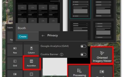
5 Data Actions To Enhance Your Experience Builder Applications
read more