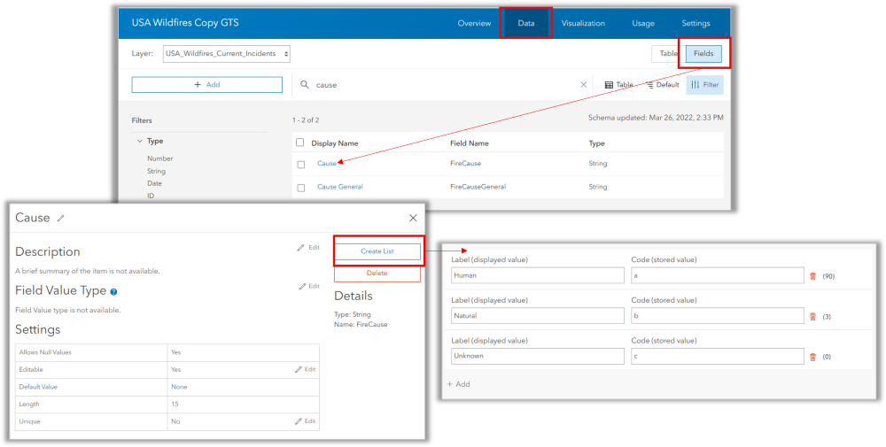
Data Accuracy: Why and How to create choice lists in ArcGIS Pro and ArcGIS Online
HOW TO ENSURE DATA QUALITY High-quality data allows organizations to make better business decisions. One of the foundations of being a GIS Professional is data creation and management. We learn early in our education and careers that data management is one of the...
1400+ Addresses for Government ArcGIS Servers
Joseph Elfelt of MappingSupport.com has posted a new PDF file containing URLs for local, state, and federal ArcGIS Servers with open data. Here is the updated list: https://mappingsupport.com/p/surf_gis/list-federal-state-county-city-GIS-servers.pdf The primary...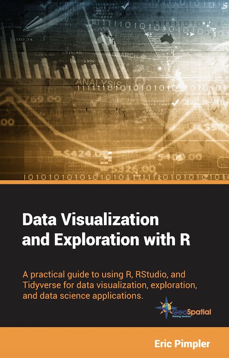
Data Visualization and Exploration with R
My new book, Data Visualization and Exploration with R, has been published in digital format and printed paperback versions. This book is a practical guide to using R, RStudio, and tidyverse for data visualization, exploration, and data science applications. $39.00...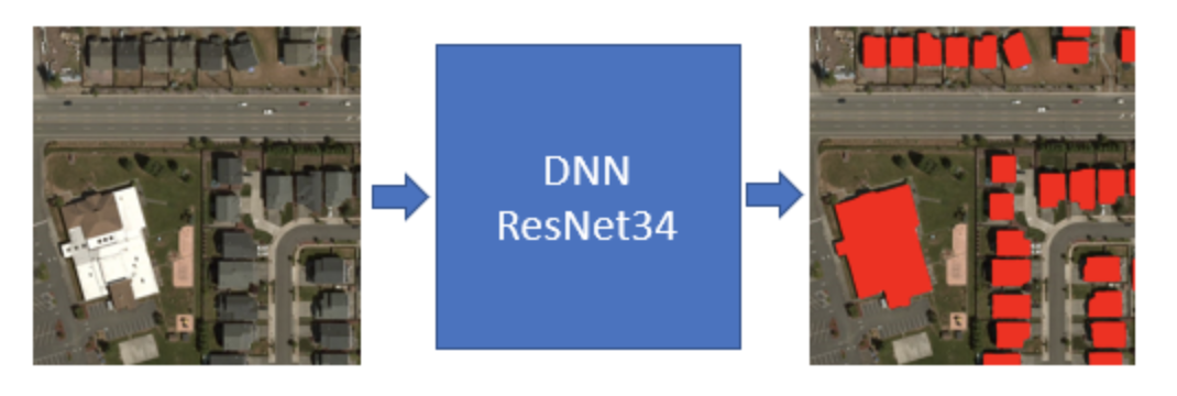
Microsoft Generates 125 million Building Footprints using AI and Deep Learning
Microsoft has announced the availability of approximately 125 million building footprint polygon geometries in all 50 US States in an open source GeoJSON format. Using a two step process centered around the use of artificial intelligence (AI), deep learning, and...