
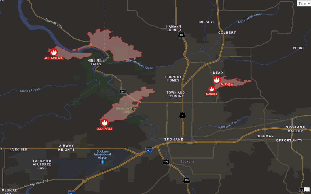
Mapping the 2026 Wildfire Season in ArcGIS Pro with Living Atlas Data
On the afternoon of August 1, three fires broke out around Spokane, Washington. By Sunday morning the Washington State Emergency Operations Center estimated about 700 structures had been destroyed and more than 65,000 people were under evacuation orders....
What AI Automation Looks Like in a Real GIS Pipeline
We found a bug in one of our production datasets yesterday. By the afternoon we had diagnosed it, fixed it, checked the fix against imagery in two metros, updated the client PDFs, and committed the change. A corrected reprocessing run across 198 metro areas was...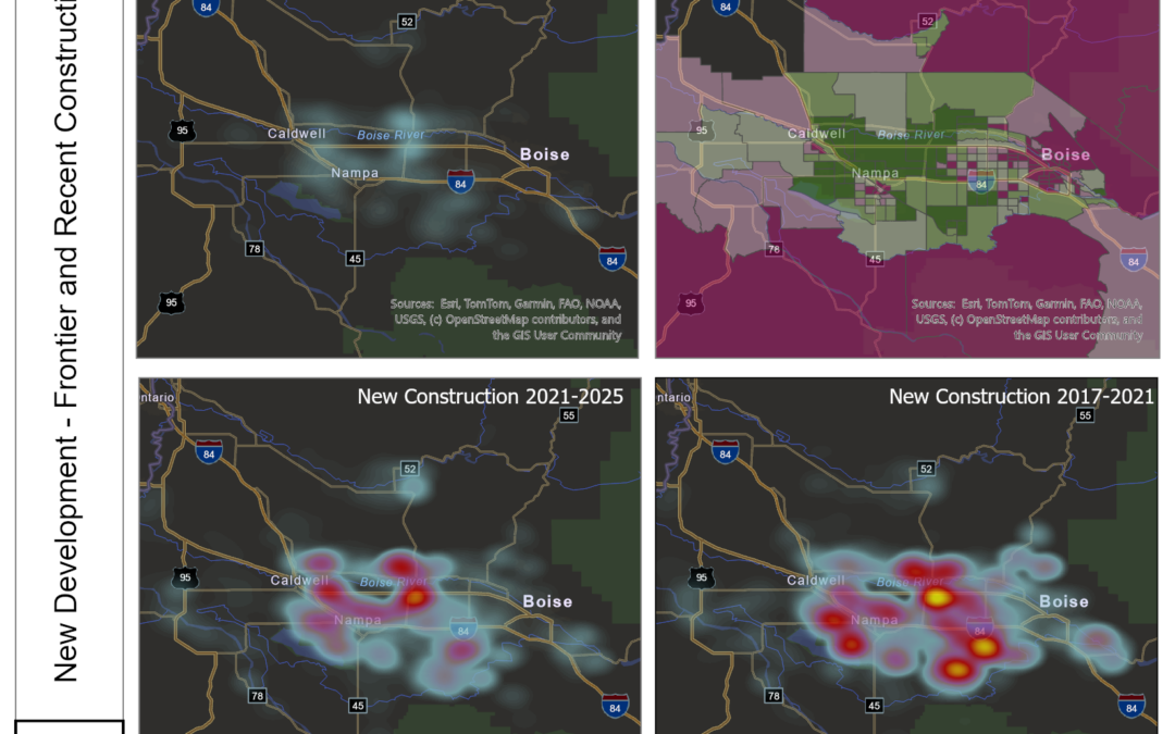
The Boise Boom Didn’t Slow Down — It Moved West
What eight years of satellite-measured land change says about the Treasure Valley Ask a national headline writer about Boise and you’ll get the 2020–2021 story: pandemic boomtown, California license plates, bidding wars. Ask the land itself and you get something...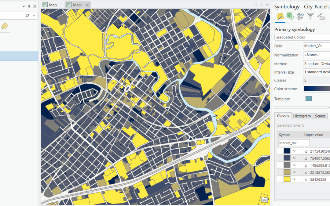
A Complete Guide to Graduated Color Renderers in ArcGIS Pro
Few symbology tools get more use in day-to-day GIS work than the graduated colors renderer. Whether you’re mapping median household income by census tract, crime rates by precinct, or population change by county, graduated colors are the workhorse behind the...