
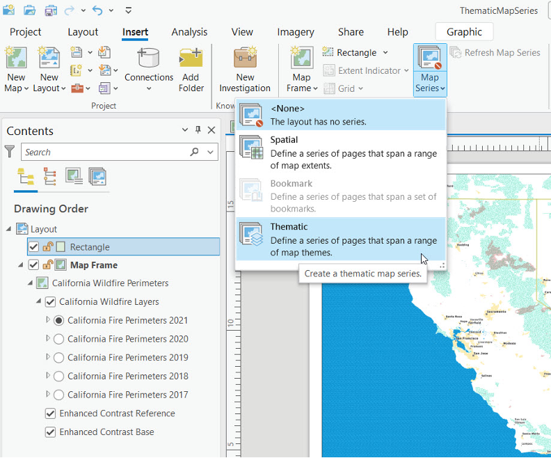
Step Up Your Mapping Game: Creating Thematic Series in ArcGIS Pro
Save 20% on our GIS classes during our annual holiday sale through December 31st. Simply enter the discount code 20for20 when checking out online. Discount already applied to the Annual GIS Training License. View our full catalog of classes and bundles. When it...
Exploring the Latest Updates in ArcGIS Pro 3.4
Our Annual Holiday Sale runs through December 31st, 2024. It’s also our 20th anniversary as a company! Enter the discount code 20for20 to save 20% on our classes. Discount already applied to the Annual GIS Training License. ArcGIS Pro 3.4 is here, bringing a...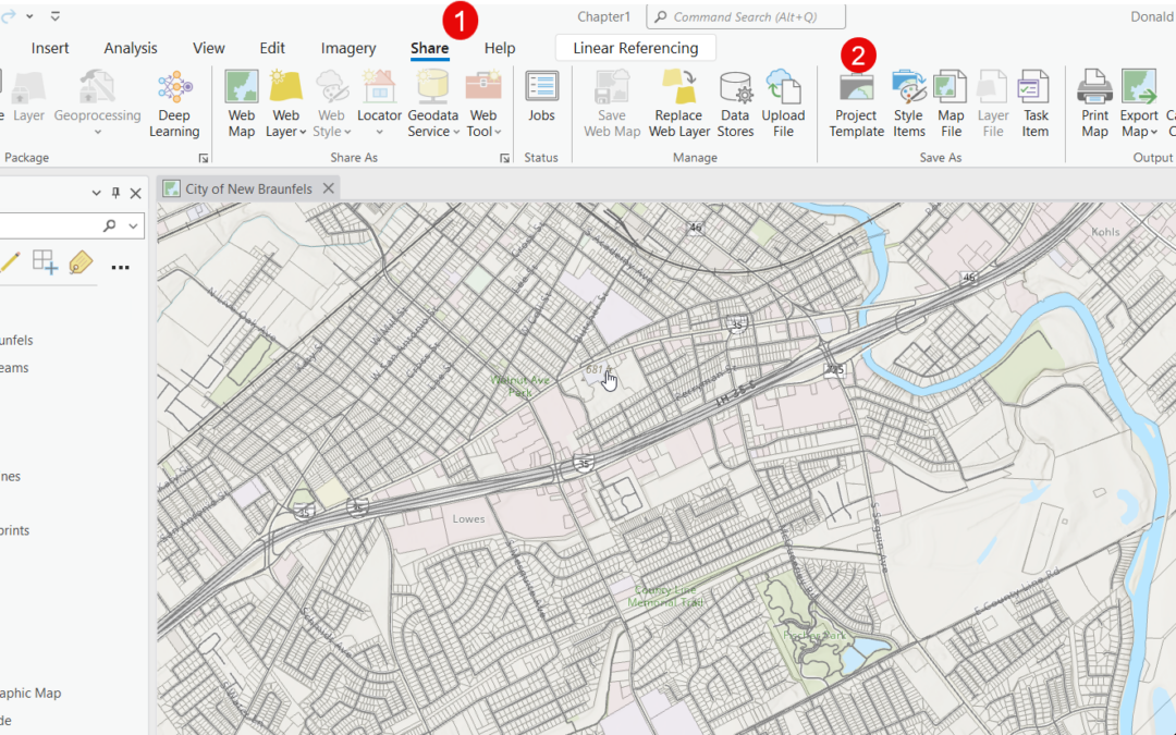
Streamline Your Workflow with Custom Project Templates in ArcGIS Pro
Take your ArcGIS Pro skills to the next level with our introductory Mastering ArcGIS Pro 3: Maps, Layers, Projects and Layouts class and intermediate level Mastering ArcGIS Pro 3: Editing, Analysis, and Automation class. In the fast-paced world of GIS, time is of the...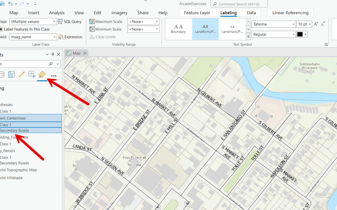
Optimizing Labeling in ArcGIS Pro: The Power of Label Classes
Labeling features in ArcGIS Pro is a powerful way to enhance the readability and functionality of your maps. Labels provide essential information about features, such as names, measurements, or any other attribute data associated with them. However, not all features...