
12th Annual Holiday Sale – Save Up to 20%
Today marks the beginning of our 12th annual holiday sale. From now through the end of December you can save up to 20% on GIS training through Geospatial Training Services. As always, the sooner you register, the more you save! To take advantage of our holiday sale...
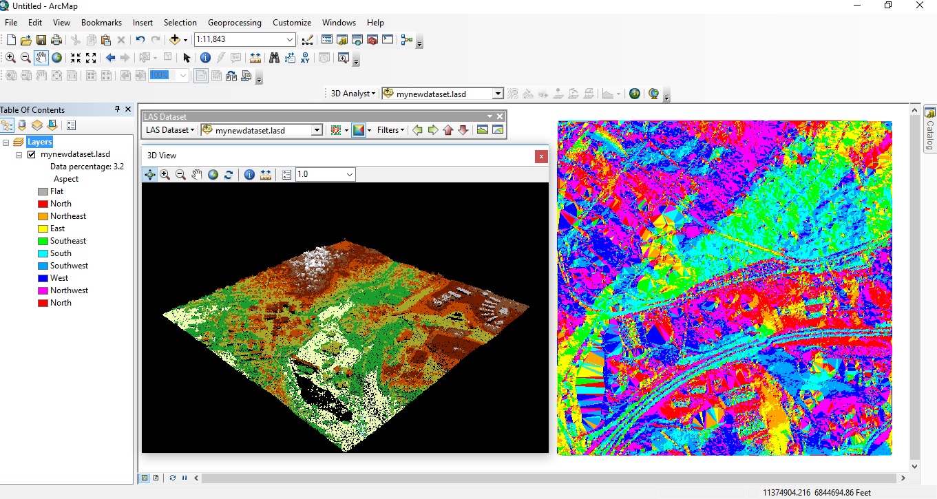
Using the ArcGIS Python Window
The Python window in ArcGIS Desktop and Pro is a good place to start for GIS analysts without any Python experience. This blog posts describes how you can take advantage of this feature when first learning Python scripting. Rather than starting with writing and...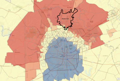
Webinar – Hot Spot Analysis with ArcGIS
Join us for a free webinar on Monday, November 21st. In this webinar we’ll cover the use of the Hot Spot Analysis tool in ArcGIS. The Hot Spot Analysis tool in ArcGIS examines features and their attributes to identify statistically significant hot spots...
San Antonio Property Data – Geoprocessing, Analysis, Mapping
Geospatial Training Services implemented a geoprocessing workflow for a local real estate company that processes monthly residential home sales information on a monthly basis and creates over 2000 reports on individual neighborhoods in the San Antonio metropolitan...