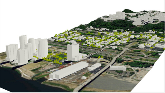

Introducing Drone2Map for ArcGIS
With the drone market becoming more professional, it was only a matter of time before Esri would release an application that could tap into raw imagery captured with drones, turning it into standardized imagery products and sharing these in the Esri ecosystem. This is...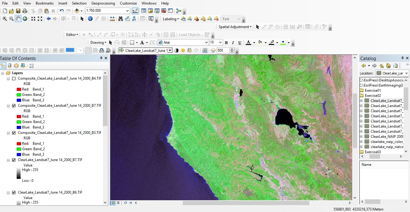
Imagery Tools in ArcGIS Desktop
Airborne and satellite imagery these days is available in multiple bands, which gives the user the opportunity to enhance and use it for a wide range of applications. This blog describes some of the tools available in ArcMap to do this. By Eric van Rees...Webinar Recording – Introduction to the Spatial Statistics Toolbox in ArcGIS
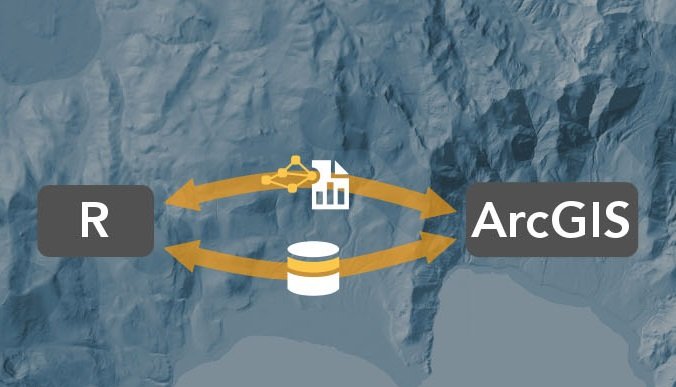
Introducing the R-ArcGIS Bridge
Bringing together the user communities of R and ArcGIS was the motivation behind the release of the R-ArcGIS bridge software package last year. This blog post discusses how GIS can incorporate the R language and enhance geospatial workflows. By Eric van Rees What is...