The Basics of Editing in ArcGIS Pro
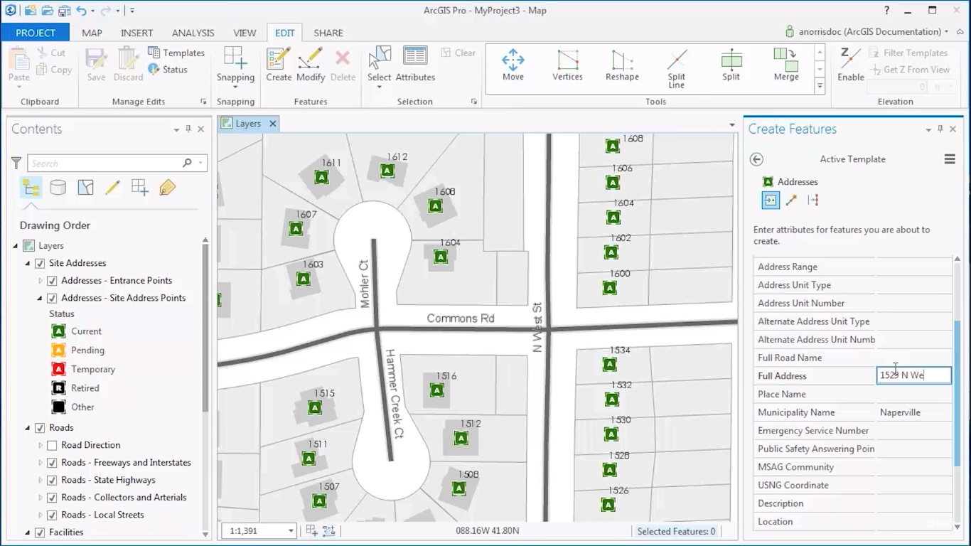
This article discusses what editing in ArcGIS Pro means and how editing functionality is different from ArcMap. What does editing mean in the context of ArcGIS Pro? The term “editing” in the context of ArcGIS Pro relates to changing the attribute information or...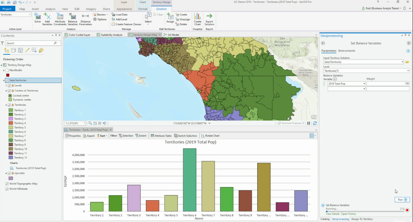
ArcGIS Business Analyst for ArcGIS Pro
ArcGIS Business Analyst for ArcGIS Pro gives users access to location data and advanced spatial analytics techniques, that help businesses do market analysis and communicate the results inside their organization through infographics and reports. ArcGIS Business...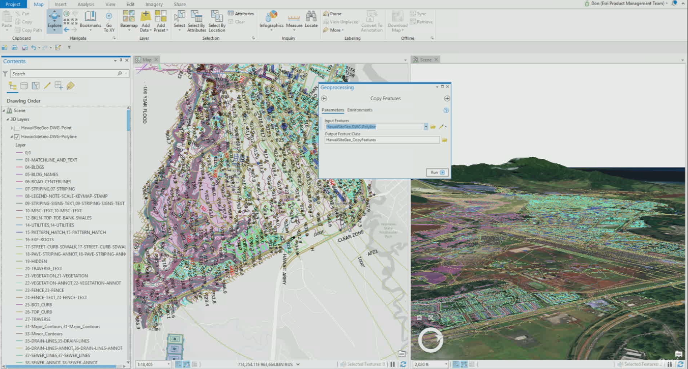
Bringing CAD Data into ArcGIS Pro
Esri developed various GIS AEC interoperability strategies to move data between different GIS and CAD applications. Currently, ArcGIS Pro can read AutoCAD and Revit data natively and will offer more support and functionality with future releases. In 2017, Esri and...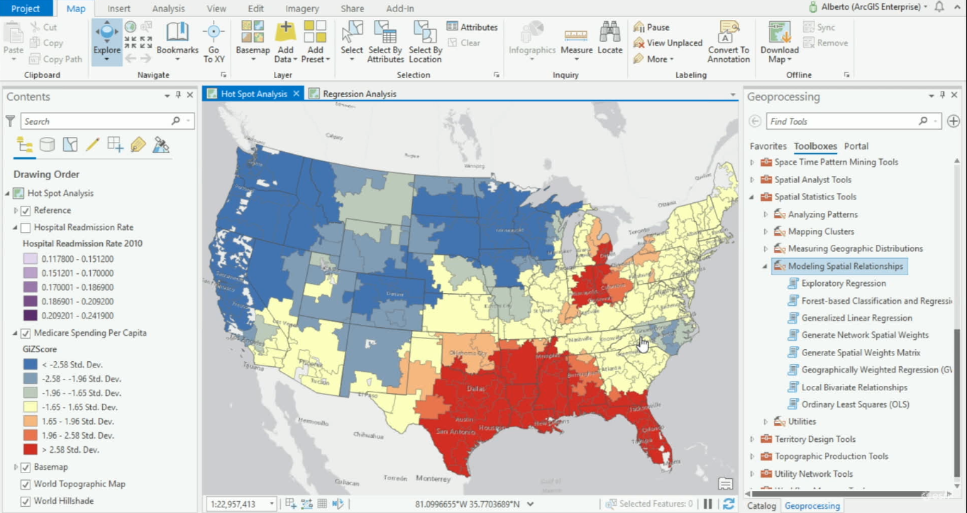
Modeling Spatial Relationships with ArcGIS Pro
ArcGIS Pro offers various geoprocessing tools for modeling spatial relationships. ArcGIS Pro 2.4 offers one new tool for modeling spatial relationships and expands its Ordinary Least Square’s tool, now renamed Generalized Linear Regression tool. When variables are...