Web AppBuilder Video Tutorials
Below is a series of YouTube video tutorials on WebAppBuilder. Be sure to subscribe to our YouTube channel so you can be alerted to future...
Data Exploration and Analysis with ArcGIS Notebooks
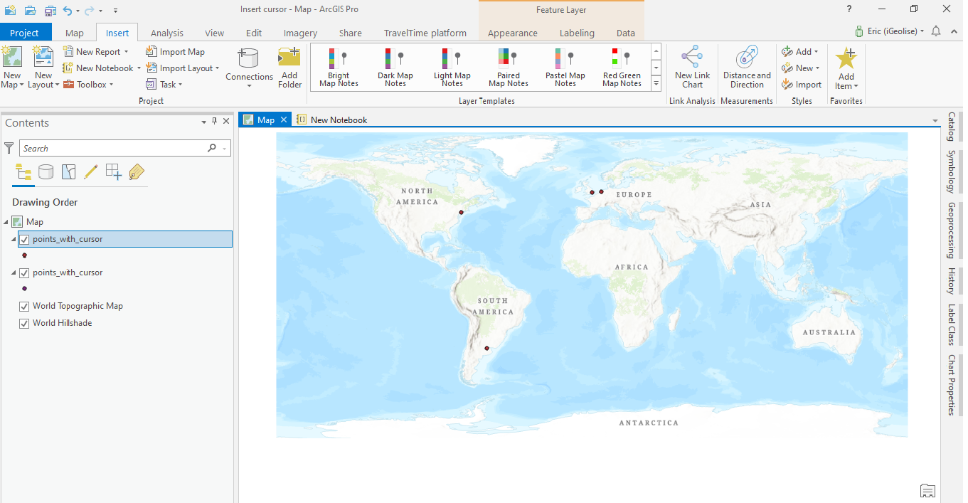
This is a short tutorial where we use ArcGIS Notebooks inside ArcGIS Pro to do data exploration and analysis. In this tutorial you’ll learn the following: How to create a new Notebook inside an ArcGIS Pro projectHow to reference a local workspace using arcpyHow to...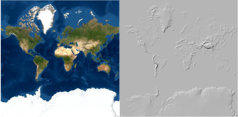
Layer Blending in ArcGIS Pro
ArcGIS Pro 2.7 introduces a new tool for applying visual effects called layer blending. We’ll have a look at different ways to apply layer blending with raster layers. What is layer blending? Layer blending is a feature that has been available in QGIS for some time...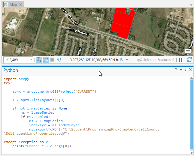
Tutorial – Automating the Production of a Map Series with Arcpy
In a previous article you learned how to create a map series using ArcGIS Pro. In this article we’ll expand upon that article and show you how to use Python with the arcpy mapping module to automate the export of maps in a series to a PDF file. As a review, a...