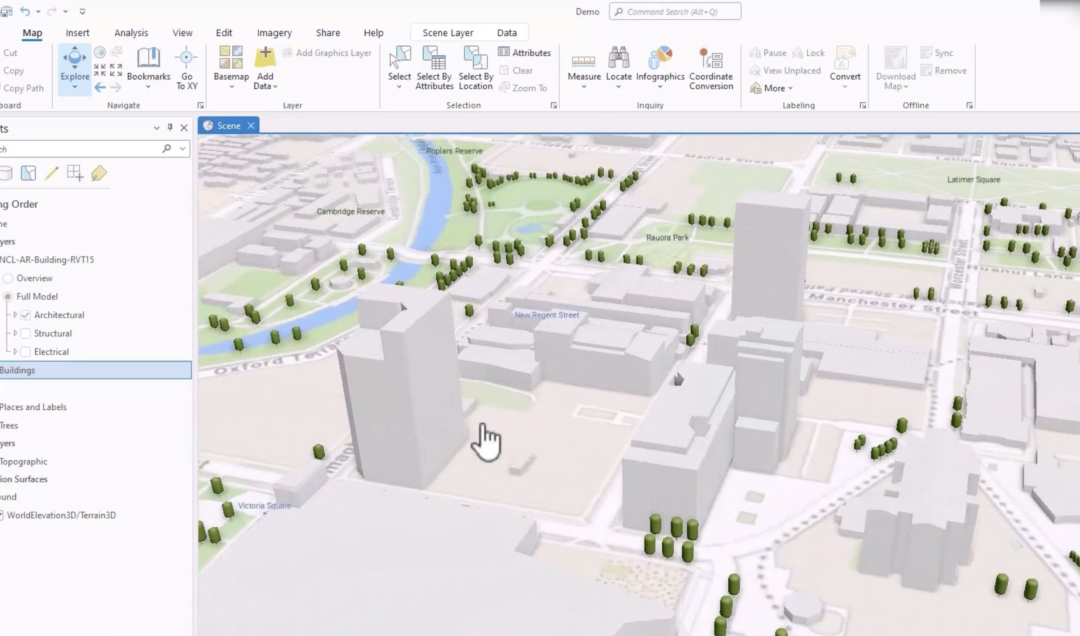

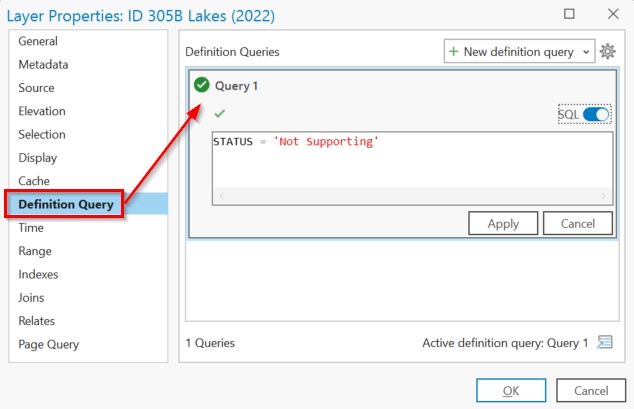
Understanding SQL Syntax and Dialects in ArcGIS Pro
Structured Query Language (SQL) is a standard programming language used to access, manipulate, and extract information. You might have heard SQL pronounced as “Ess-cue-ell” or you may have heard it referred to as “Sequel”. The latter...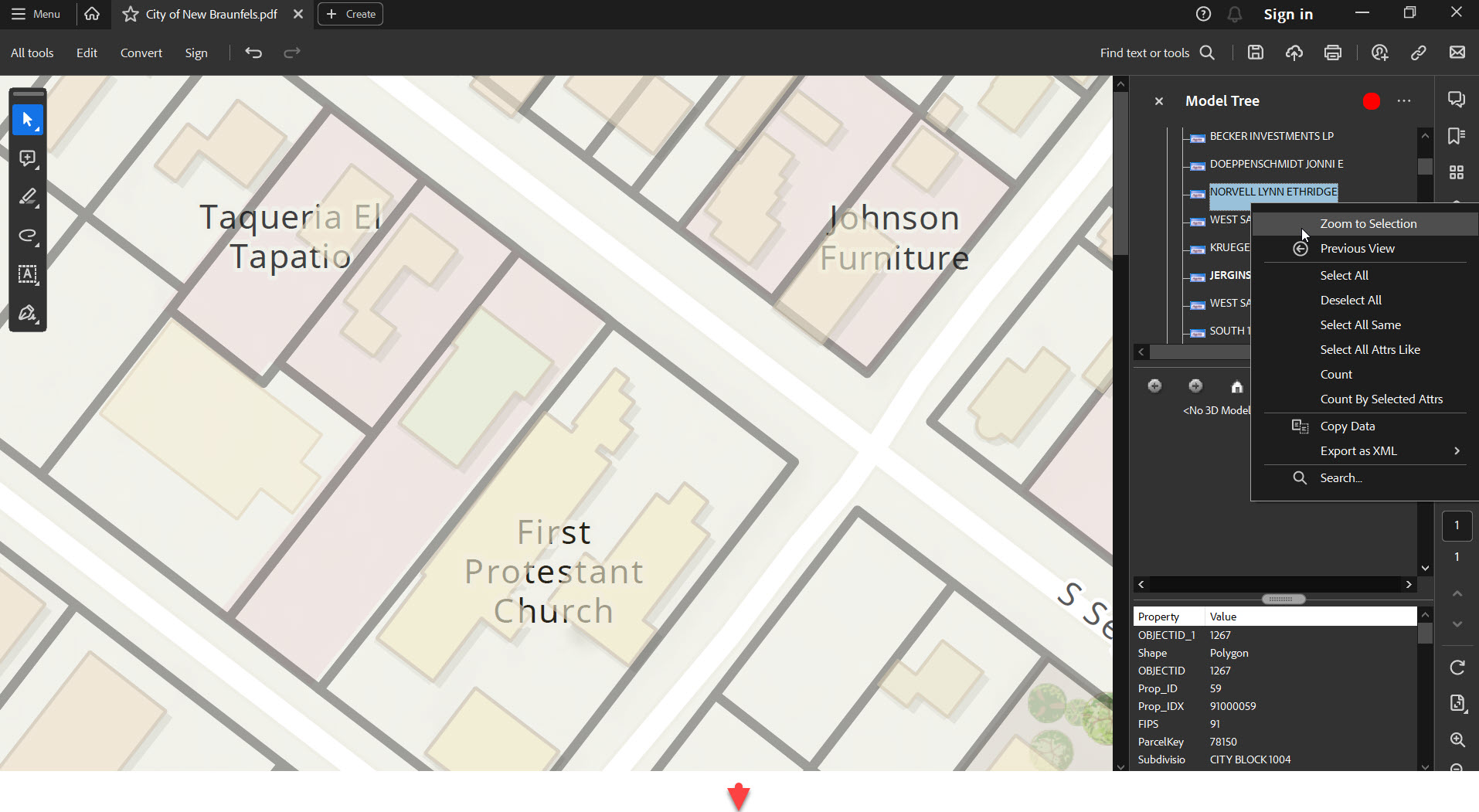
Exporting Vector PDF Maps in ArcGIS Pro
ArcGIS Pro is the next-generation GIS software that has taken mapping, analytics, and sharing of geospatial data to the next level. One of its capabilities is to export high-quality vector maps in the form of PDFs. This feature is especially beneficial for...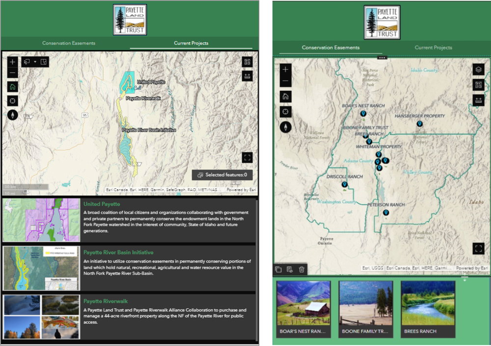
Configure Experience Builder Mobile Views: Tips and Tricks
For the success and credibility of your map applications, it is important to provide users with a single URL. This universal URL should take a user to your application and provide them with an ideal layout regardless of their screen’s size. Today’s...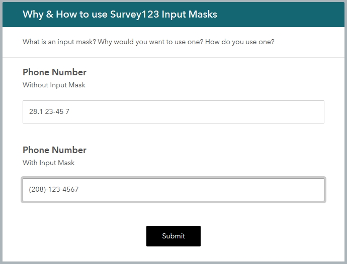
Why you should use Survey123 Input Masks
Survey123 is a magical application that allows you to create input forms that can be used on the web or from mobile devices. They can be used online, or offline. These survey forms can focus on community input, asset inventories, stakeholder feedback, and more. So,...
