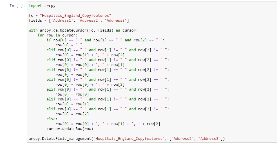
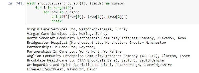
Using arcpy’s SearchCursor for Selecting and Returning Records
Using arcpy’s SearchCursor for selecting and returning records In this tutorial, we willl be using arcpy’s SearchCursor class for returning records from a feature class. Arcpy’s Data Access module provides the SearchCursor class, from which cursor objects can be...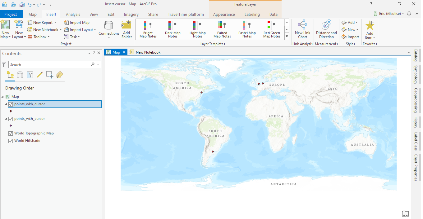
Populating a Feature Class in ArcGIS Pro using an Insert Cursor in Arcpy
This is a short tutorial for ArcGIS Pro users that shows how to use the arcpy module for creating a shapefile with a number of attribute field values and pass on a list of values using an insert cursor. In this tutorial you will learn the following: Create a shapefile...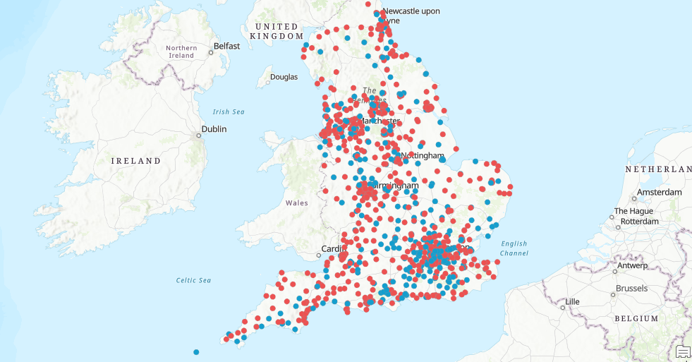
Data Exploration and Analysis with ArcGIS Notebooks
This is a short tutorial where we use ArcGIS Notebooks inside ArcGIS Pro to do data exploration and analysis. In this tutorial you’ll learn the following: How to create a new Notebook inside an ArcGIS Pro projectHow to reference a local workspace using arcpyHow to...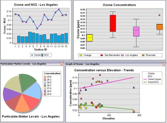
How to Add Data Science to your GIS Skills
GIS professionals interested in data science can start their journey into this field by exploring various spatial data analysist tools offered by ArcGIS and learning how to code. Current GIS software offers many tools that fall into the data science category. As such,...