
Using a Where Clause Inside a SearchCursor to Filter Data
In this tutorial, we will be using using SearchCursors with a where clause used as an optional parameter. We will explain the function of where clauses and their syntax when creating a SearchCursor object with arcpy. What is a where clause? When you look at the syntax...
Using arcpy’s SearchCursor for Selecting and Returning Records
Using arcpy’s SearchCursor for selecting and returning records In this tutorial, we willl be using arcpy’s SearchCursor class for returning records from a feature class. Arcpy’s Data Access module provides the SearchCursor class, from which cursor objects can be...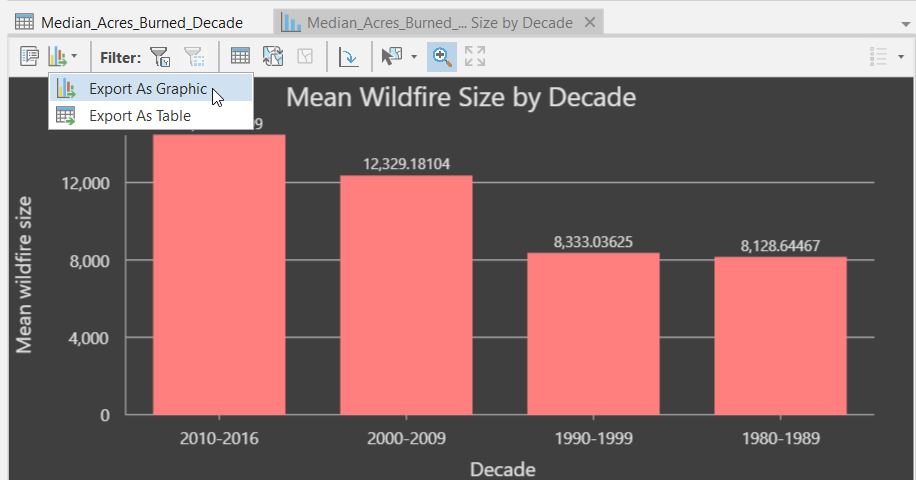
Videos: Working with Charts in ArcGIS Pro
Charts can be created in ArcGIS Pro from tabular data as well as raster data. Tabular data includes feature data such as feature classes or shapefiles along with standalone tables. Raster data, including imagery and pixel data, can also be used as a source...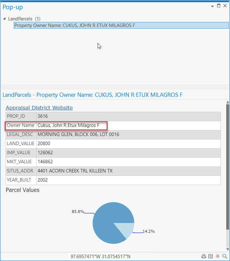
Adding Arcade Expressions to Pop-Up Windows in ArcGIS Pro
ArcGIS Arcade is a simple, portable scripting language for creating custom, dynamic expressions and can be used in a variety of contexts within ArcGIS Pro including dynamic visualization and labeling, custom popup content, and field calculation. Custom Arcade...