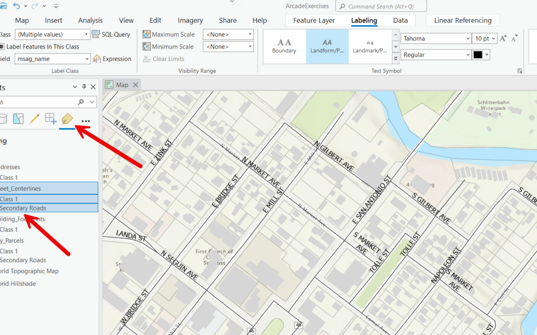
Optimizing Labeling in ArcGIS Pro: The Power of Label Classes
Labeling features in ArcGIS Pro is a powerful way to enhance the readability and functionality of your maps. Labels provide essential information about features, such as names, measurements, or any other attribute data associated with them. However, not all features...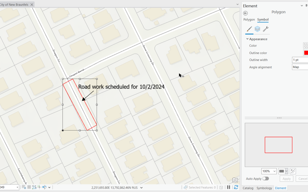
Using Graphics Layers in ArcGIS Pro: A Beginner’s Guide
For more information on ArcGIS Pro please consider our classes: Mastering ArcGIS Pro 3: Maps, Layers, Projects, and Layouts and Mastering ArcGIS Pro 3: Editing, Analysis, and Automation. Graphics layers in ArcGIS Pro allow you to overlay elements like text, shapes,...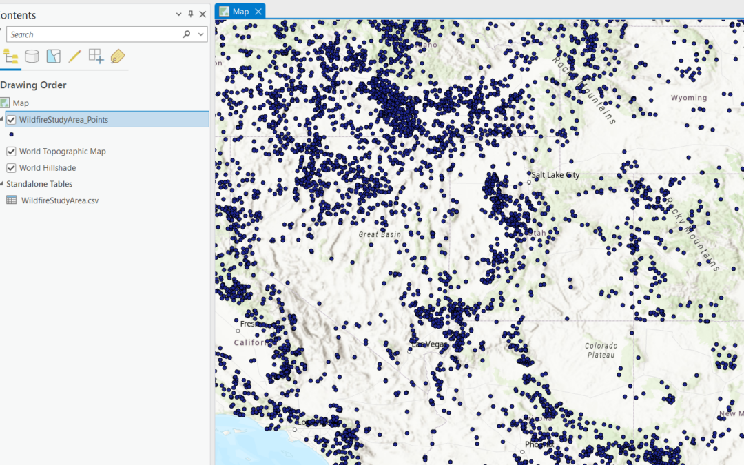
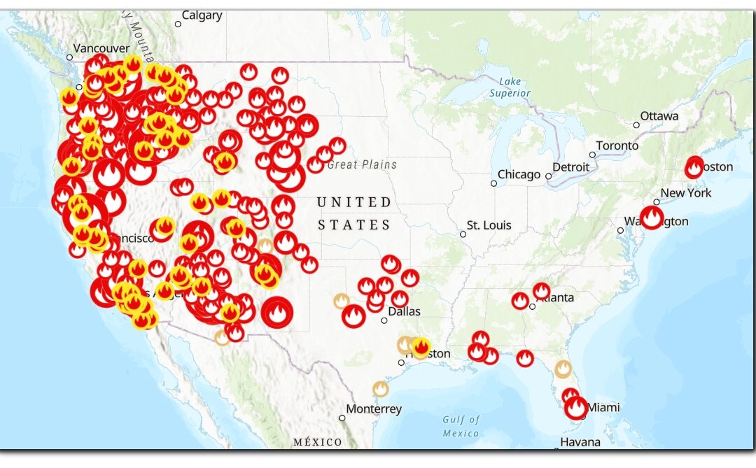
How to Add a Point Layer to ArcGIS Pro Using Spreadsheet Data
ArcGIS Pro allows you to import spatial data from a variety of sources, including spreadsheets. A common task is adding a point layer using data from an Excel spreadsheet or CSV file that contains columns for X (longitude) and Y (latitude) coordinates. This tutorial...
Unlocking the Power of the Data Engineering Tool in ArcGIS Pro
When working with geospatial data, ensuring its accuracy and readiness for analysis is crucial. This is where ArcGIS Pro’s Data Engineering tool comes into play. Designed to help GIS professionals explore, clean, and prepare their data efficiently, the Data...