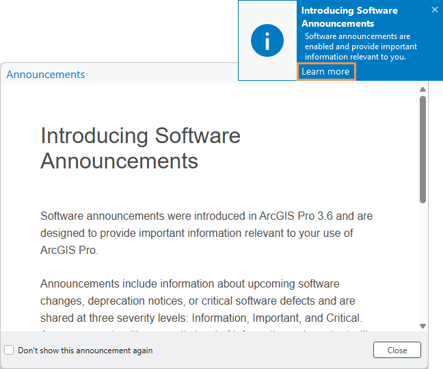
Level Up Your Workflow: Introducing Announcements in ArcGIS Pro 3.6
How often have you found out about a game-changing ArcGIS Pro feature months after it launched? Or continued using a time-consuming workflow, only to discover a better, faster option was already available? Staying current with software updates often means constantly...
Understanding Edit Sessions in ArcGIS Pro: When and Why to Use Them
For users transitioning from ArcGIS Desktop or those working with complex editing workflows, understanding edit sessions in ArcGIS Pro is crucial for effective data management. While ArcGIS Pro defaults to a more flexible editing mode without sessions, the ability to...
Unlock the Power of ArcGIS Living Atlas: Your Gateway to World-Class Geospatial Data
If you’re working in ArcGIS Pro or ArcGIS Online and haven’t tapped into the ArcGIS Living Atlas of the World, you’re missing out on one of the most powerful resources available to GIS professionals today. This massive, curated collection of...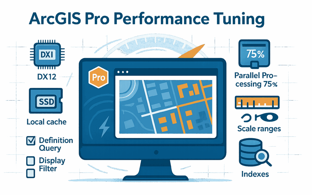
ArcGIS Pro Performance Tuning: Speed Up Your Workflows by 50%
Is your ArcGIS Pro crawling through large datasets? Does your 3D scene stutter when you navigate? Are you making coffee while waiting for geoprocessing tools to complete? You’re not alone—but you don’t have to accept poor performance as inevitable. After...