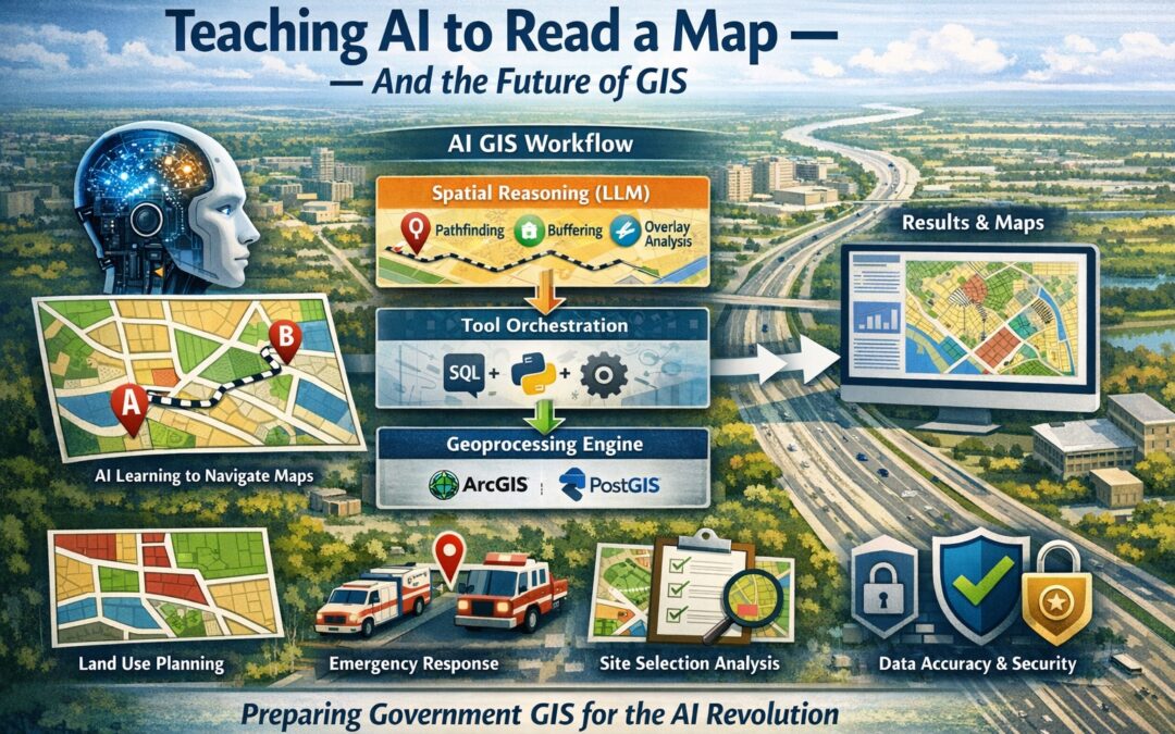
Spatial Intelligence Is Coming to LLMs — Is Government GIS Ready?
How Google’s MapTrace research reveals a broader revolution in spatial intelligence, and why local and state government GIS programs need to start preparing now. Look at a map of your city — the parcels, the streets, the zoning boundaries layered over...
Using AI Assistants to Generate ArcGIS Pro Python Scripts for Automation
Geospatial Training Services offers hands-on courses in AI-assisted Python automation for ArcGIS Pro. Visit geospatialtraining.com to learn more about our upcoming bootcamps and live-online classes. For years, the barrier to automating GIS workflows has been the same:...
The GeoAI Reckoning: Disruption, Opportunity, and What GIS Professionals Should Do Now
Navigating opportunity and disruption as AI reshapes the geospatial industry The geospatial industry is experiencing its most significant transformation since the shift from paper maps to digital GIS. Artificial intelligence and machine learning are fundamentally...
Meta’s SAM 3: A Game-Changer for GIS Feature Extraction
Meta’s Segment Anything Model 3 (SAM 3) represents a significant leap forward in automated feature extraction from imagery, and it has enormous implications for GIS professionals. This latest foundation model transforms how we can extract object-level data from...