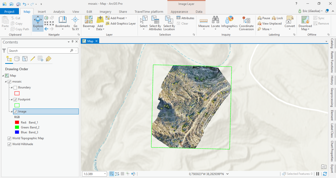
Creating and Populating a Mosaic Dataset in ArcGIS Pro
In this tutorial, we will create a mosaic dataset in ArcGIS Pro and populate it with raster images that can be used for further analysis. A mosaic dataset in Pro can be regarded as a subclass of a file geodatabase. They are used to manage raster data: creating a new...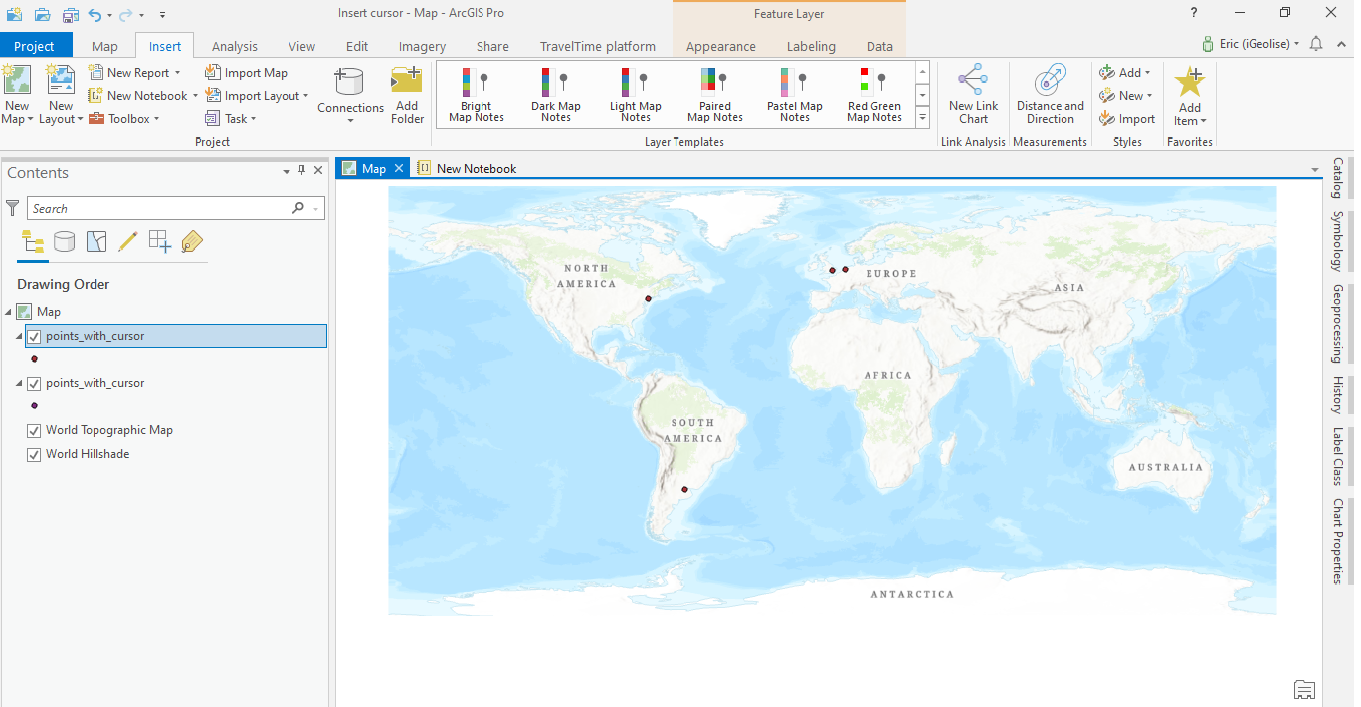
Populating a Feature Class in ArcGIS Pro using an Insert Cursor in Arcpy
This is a short tutorial for ArcGIS Pro users that shows how to use the arcpy module for creating a shapefile with a number of attribute field values and pass on a list of values using an insert cursor. In this tutorial you will learn the following: Create a shapefile...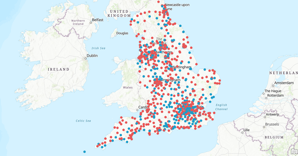
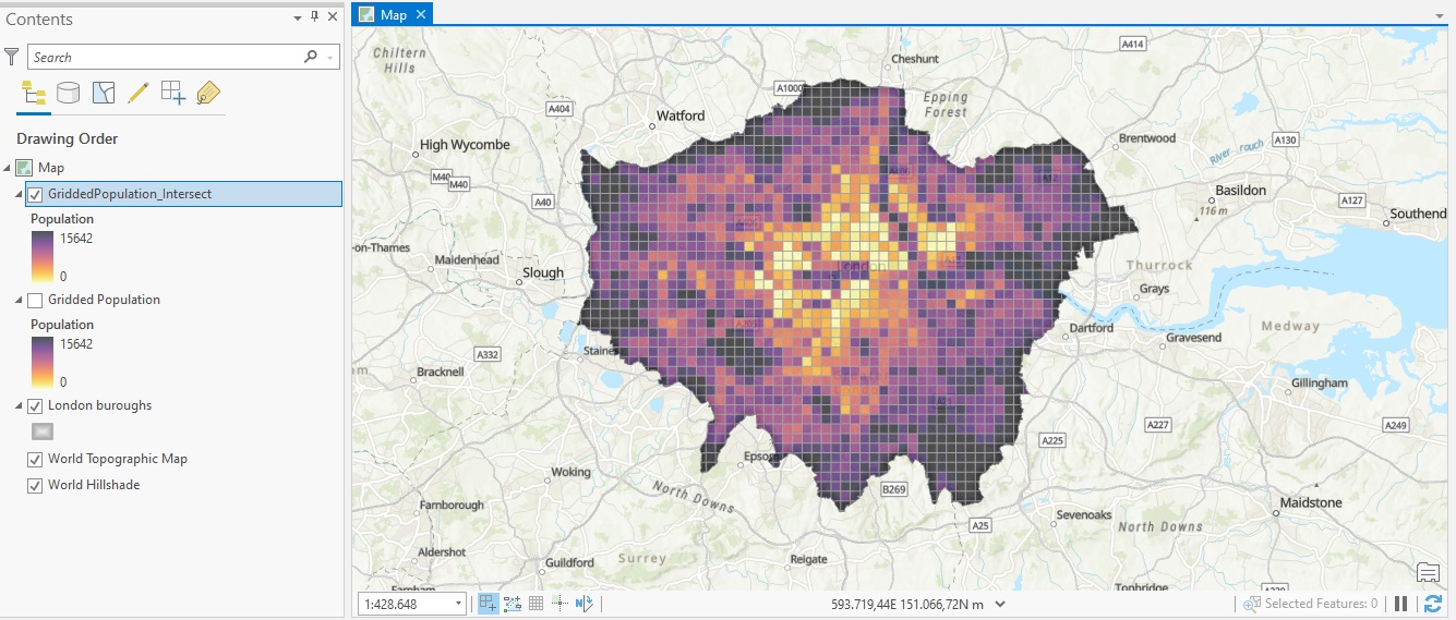
Data Exploration and Analysis with ArcGIS Notebooks
This is a short tutorial where we use ArcGIS Notebooks inside ArcGIS Pro to do data exploration and analysis. In this tutorial you’ll learn the following: How to create a new Notebook inside an ArcGIS Pro projectHow to reference a local workspace using arcpyHow to...