
ArcGIS Notebooks in ArcGIS Pro
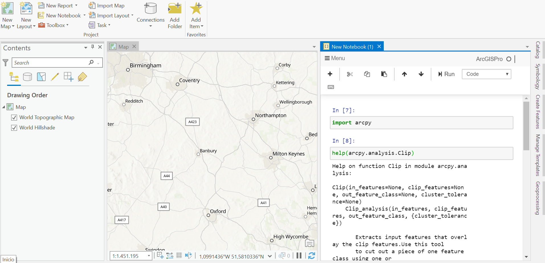
Since the release of ArcGIS Pro 2.5, a new feature called ArcGIS Notebooks is supported. The concepts behind this feature are discussed below. What are ArcGIS Notebooks? ArcGIS Notebooks are integrated Jupyter Notebooks inside of Pro. A Jupyter Notebook is...
How to Select Features in ArcGIS Pro
Check out our self-paced GIS training bundles. Selecting features on a map or from a feature attribute table is an important task, whether you are editing or analyzing a selection of your data. There are multiple ways to do this in ArcGIS Pro, as illustrated below....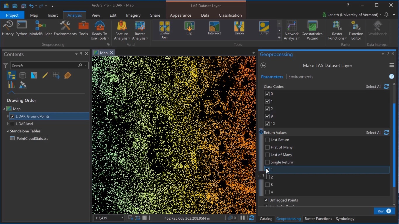
Generating Digital Surface Models from Lidar Data in ArcGIS Pro
ArcGIS Pro enables the creation of raster surface models (Digital Elevation Models and derivatives such as a Digital Surface Model) from lidar point cloud data. Digital Elevation Models and derivatives such as Digital Surface Models and Digital Terrain Models are...