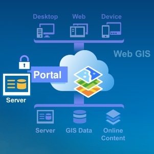
12th Annual Holiday Sale – Save Up to 20%
Today marks the beginning of our 12th annual holiday sale. From now through the end of December you can save up to 20% on GIS training through Geospatial Training Services. As always, the sooner you register, the more you save! To take advantage of our holiday sale...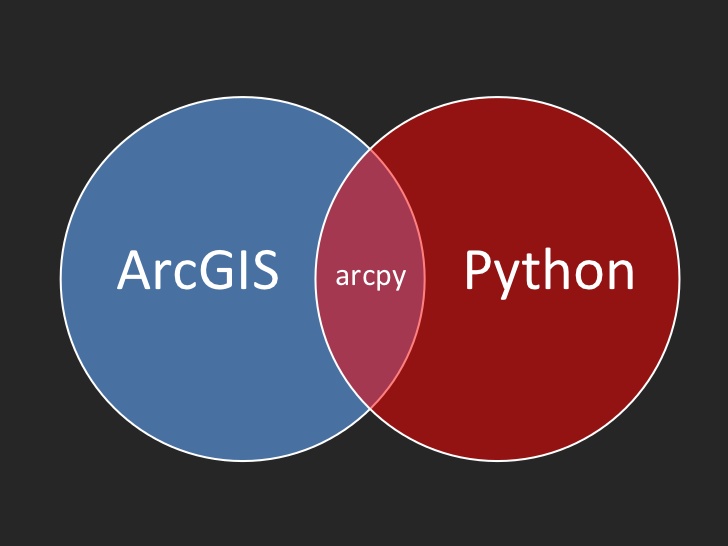
Using the ArcGIS Python Window
The Python window in ArcGIS Desktop and Pro is a good place to start for GIS analysts without any Python experience. This blog posts describes how you can take advantage of this feature when first learning Python scripting. Rather than starting with writing and...
2 New Releases of the ArcGIS API for JavaScript
September saw two new releases of Esri´s ArcGIS API for JavaScript. This blog post discusses some of the new capabilities of both releases. By Eric van Rees Two new releases of the ArcGIS API for JavaScript have been released around the same time, for versions 3.x and...