
Free Chapter: Data Visualization and Exploration with R
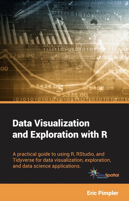
My latest book, Data Visualization and Exploration with R, has been published, and you can download a free chapter. The book is available in both hard copy and digital formats. You will also want to download and install the exercise data. This book uses RStudio, so...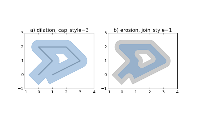
Accessing Geospatial Data with PyShp, Shapely and Fiona
The new 1.5 version of the ArcGIS API for Python integrates the PyShp, Shapely and Fiona packages, so that vector data from other libraries can be accessed through the API as well. Let’s have a look at the these three Python libraries and how they are used within the...
Data Visualization and Exploration with R
My new book, Data Visualization and Exploration with R, has been published in digital format and printed paperback versions. This book is a practical guide to using R, RStudio, and tidyverse for data visualization, exploration, and data science applications. $39.00...