
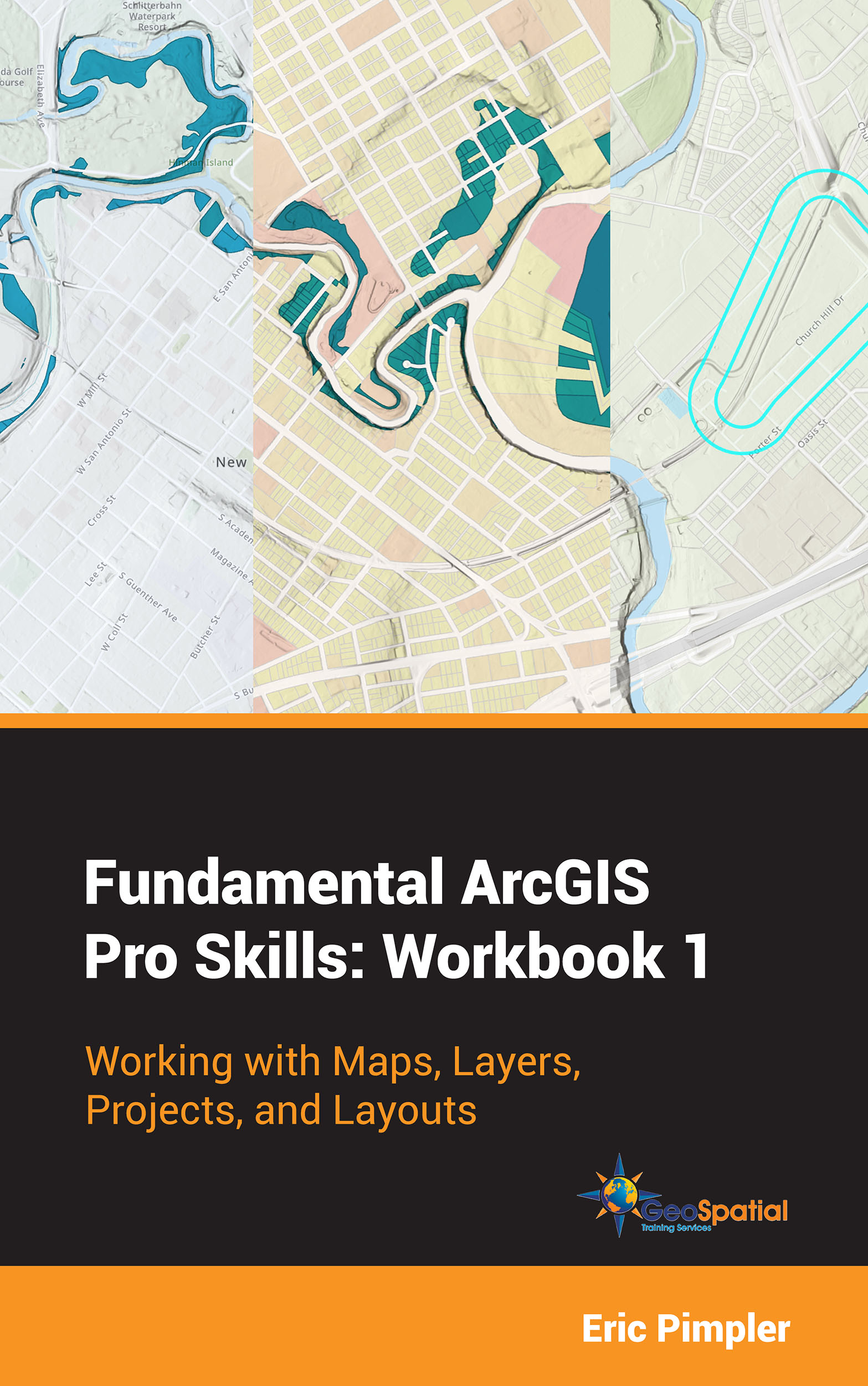
Our New Book – Fundamental ArcGIS Pro Skills: Workbook 1
Our new Fundamental ArcGIS Pro Skills: Workbook 1 has been published! If you’re ready to learn the basics of ArcGIS Pro including working with maps and layers, projects, and layouts this is the place to start! What you’ll learn in this book: In this book you...
Sample Chapter 1: Fundamentals of the Python Language
The following is a sneak peek at the first part of a sample chapter from our newest book: Programming ArcGIS Pro with Python: 3rd Edition. This book has been updated for ArcGIS Pro 3.x, and will teach you how to automate your ArcGIS Pro 3.x geoprocessing tasks using...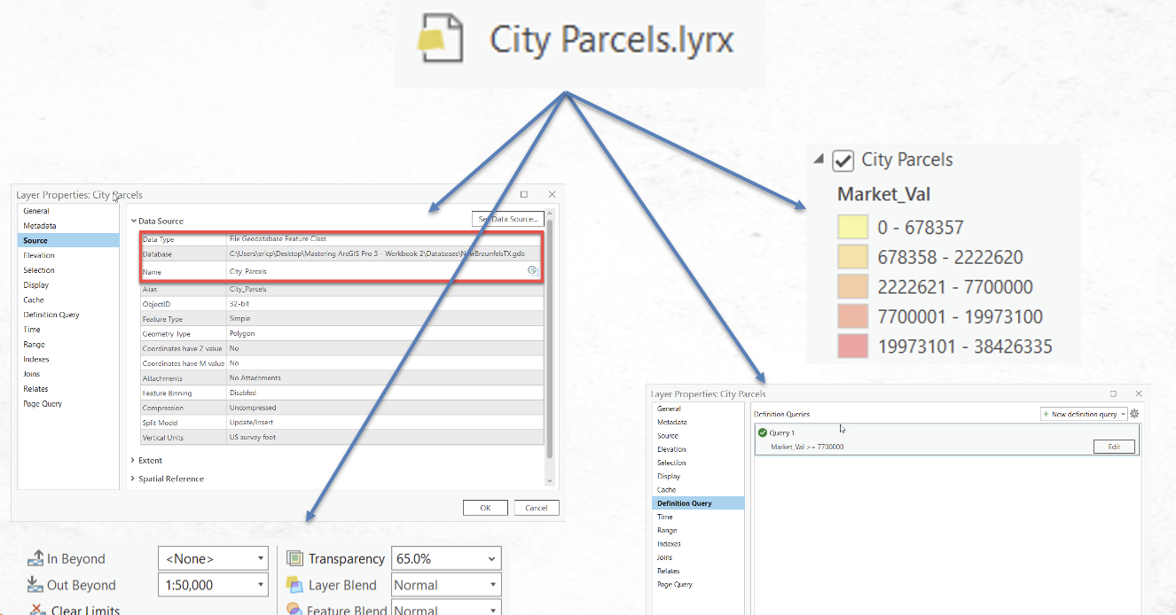
Understanding ArcGIS Pro Layer and Map Files
One of the more difficult aspects of getting up to speed with GIS software is the wide variety of data formats that can be used. Just to name a few we have two or three types of geodatabase including file and enterprise for ArcGIS Pro and a third, personal...