Creating Animated Maps with R
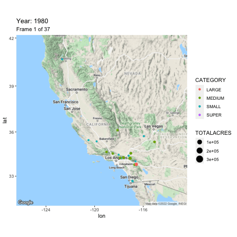
Animated maps, like the one you see below, provide a powerful enhancement to show how data evolves over time. In this tutorial you’ll learn how to use R with the ggmap, tidyverse, and gganimate libraries to produce animated maps like you see below. This animated...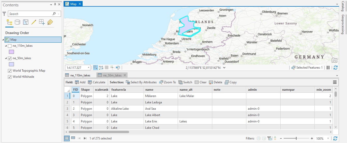
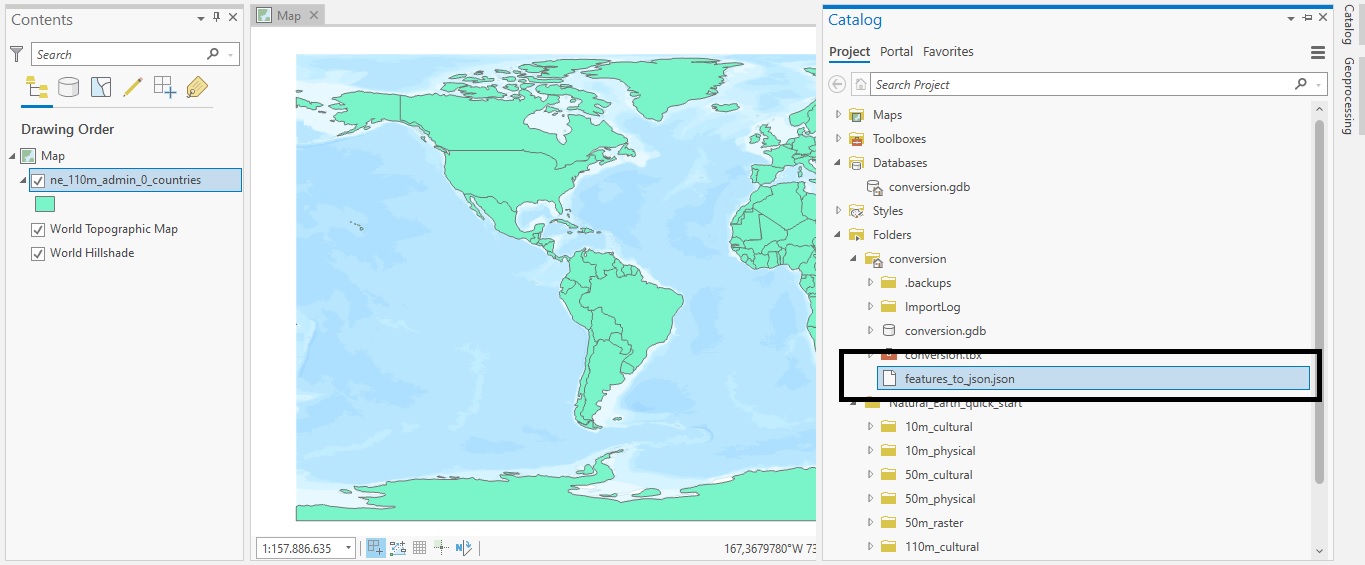
Tutorial: Combining Multiple Datasets into a New Dataset with ArcGIS Pro
In this tutorial, you’ll learn how to combine multiple datasets into a new one using the Merge tool. In an earlier tutorial, you learned how to use the Append tool to add new data to an existing dataset. This would change the existing dataset, as new records would be...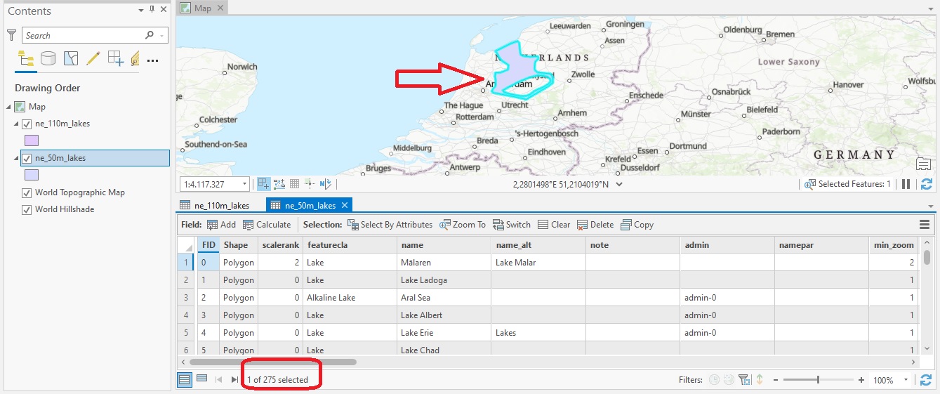
Tutorial: Adding New Features to a Dataset with the Append Tool in ArcGIS Pro
In this tutorial, you’ll learn how to append new data to existing data in Pro using the Append tool. The Append Tool in ArcGIS Pro is used to add new features or other data from multiple datasets into an existing dataset. It adds new data to an existing dataset of the...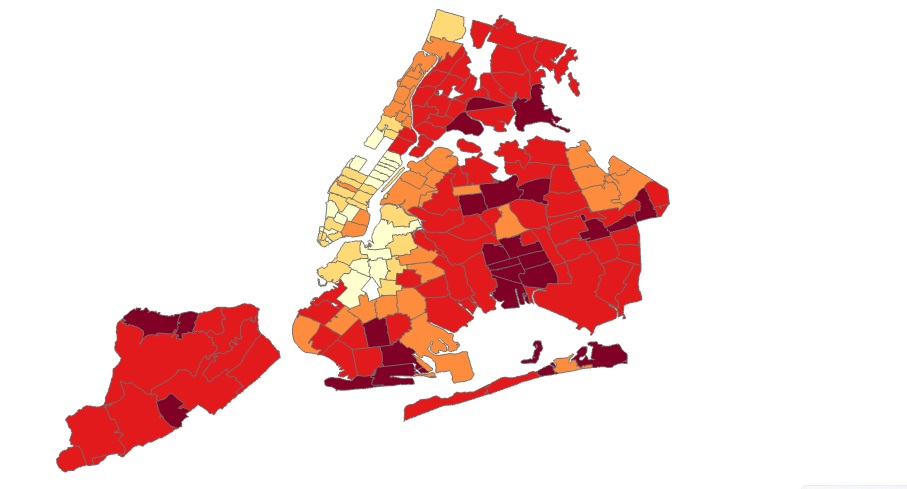
Tutorial: Creating a COVID-19 Map of NYC in ArcGIS Pro
In this tutorial, you’ll be recreating a COVID map of NYC that shows percentages of COVID cases for different parts of the city over the last seven days. Introduction The following link shows an interactive web map of COVID-19 cases in NYC (also displayed on the image...