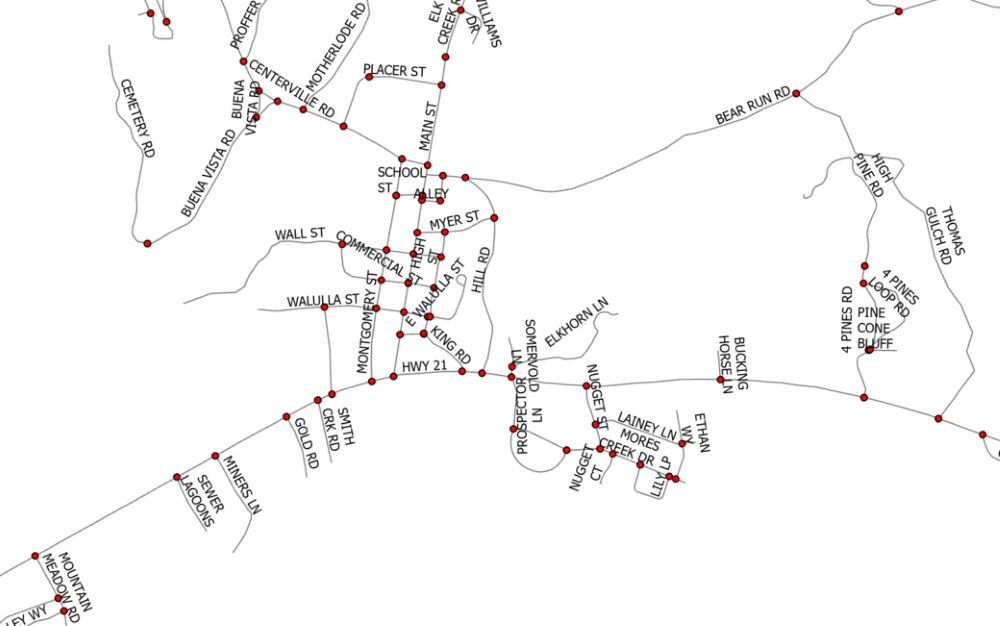
If you want to learn more about using geoprocessing functions like those described in this article, check out our foundational ArcGIS Pro courses and upcoming training events. Road Centerlines are required in most GIS-based 911 dispatch platforms and are one of the...
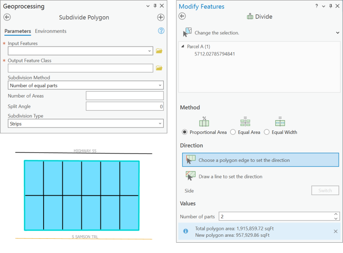
There are many reasons you might want to divide an already-existing polygon into equal parts. One example is that a parcel of land needs to be subdivided for development. Another example involves research scientists and their need to create adjacent quadrants of a...

ArcGIS Pro is Esri’s latest Desktop GIS Application. It will be replacing ArcMap and ArcCatalog at some point (We have heard anywhere between 2 to 7 years). ArcGIS Pro is still very much a work in progress but it has come a long way since first released in 2015....
The ArcPy Mapping module, released with ArcGIS 10 provides a number of capabilities including the management of map documents and layers, printing, exporting, and ArcGIS Server publishing as well as map automation and the creation of PDF map books. In this post you...
Printing and exporting maps is obviously one of the most commonly performed ArcGIS tasks. The new Arcpy.mapping module provides several functions that you can use to automate your routine print and export tasks. In this post we’ll examine Arcpy.mapping functions you...