
The Future of GIS Work in the Age of AI: Evolution, Transformation, and Potential Displacement
The rise of artificial intelligence (AI) in Geographic Information Systems (GIS) is transforming the way geospatial data is analyzed and applied, particularly in government agencies. From local municipalities to federal departments, AI is streamlining processes,...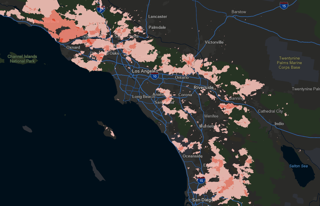
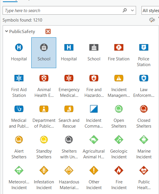
Mastering Feature Blending in ArcGIS Pro: Create Stunning Maps with Advanced Visualization Techniques
Creating beautiful, informative maps in ArcGIS Pro requires more than just stacking layers and applying basic symbology. To truly elevate your cartography, you need to understand how features can interact visually within a single layer. Enter Feature Blending—a...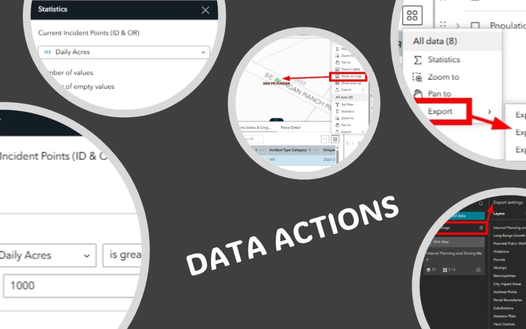
5 Data Actions To Enhance Your Experience Builder Applications
Click here to learn more and view our upcoming class schedule to participate in Experience Builder training. ArcGIS Experience Builder provides a powerful set of Data Actions that allow users to interact with data across multiple widgets. Data Actions are actions that...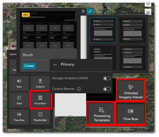
What’s New in Experience Builder: February 2025
Click here to learn more and view our upcoming class schedule to participate in Experience Builder training. ArcGIS Experience Builder’s latest update introduces a suite of enhancements designed to improve functionality, accessibility, and user experience....